print, paper, ink, engraving
#
baroque
# print
#
landscape
#
paper
#
ink
#
geometric
#
line
#
history-painting
#
engraving
Dimensions: height 360 mm, width 450 mm
Copyright: Rijks Museum: Open Domain
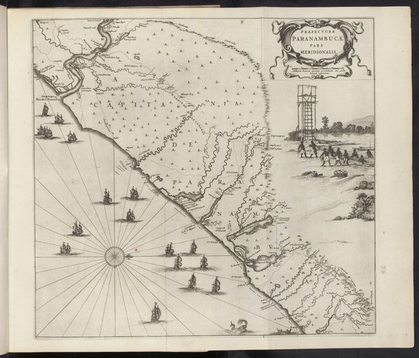
This overview map of the French coast was made in 1726 by an anonymous artist. It provides a fascinating insight into France's maritime ambitions and geographic understanding during the early 18th century. The map meticulously charts the coastline from the Atlantic to the Mediterranean, showcasing regions like Normandie, Bretagne and Provence. Note the prominent display of naval vessels and cartographic details, visually emphasizing France's maritime power and economic interests. Made during the reign of Louis XV, this map reflects the centralized power and administrative focus of the French monarchy. Maps like these served practical purposes for trade, defense, and governance, but also functioned as symbols of national identity and control. Institutions such as the royal academy played a crucial role in standardizing cartographic knowledge, consolidating the state's authority. To understand this map fully, historians would consult archival records detailing French naval expeditions and colonial ventures, alongside studies of cartography, maritime history, and the social and institutional context of early modern France. This map is a complex product of political power and cultural identity.
Comments
No comments
Be the first to comment and join the conversation on the ultimate creative platform.
More like this