print, etching, engraving
# print
#
etching
#
cityscape
#
history-painting
#
early-renaissance
#
engraving
#
watercolor
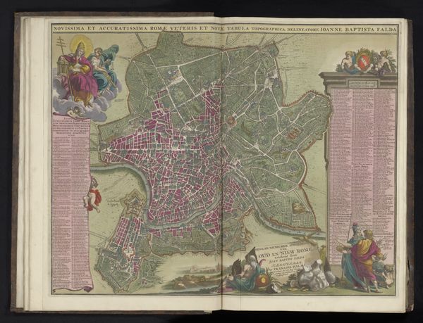
Dimensions: height 355 mm, width 491 mm
Copyright: Rijks Museum: Open Domain
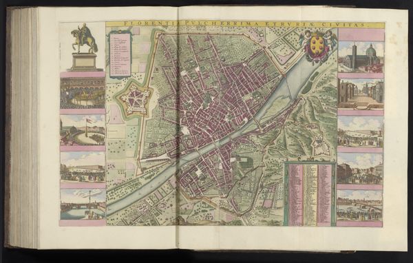
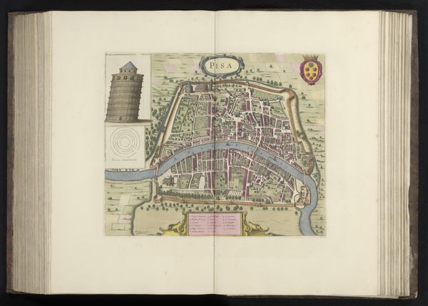
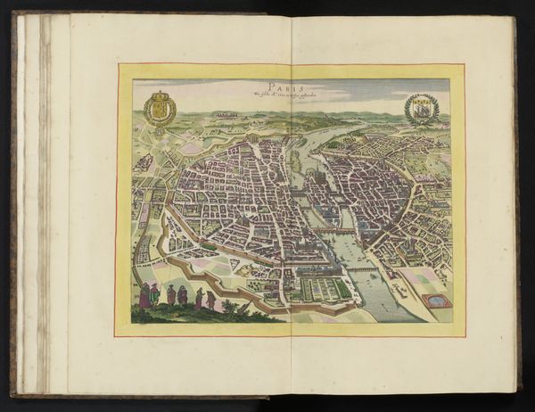
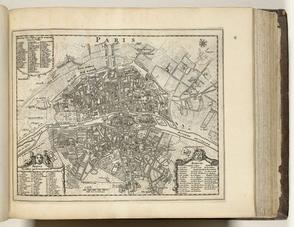
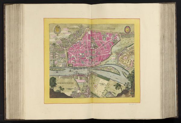
This is an anonymous bird’s-eye view of Rome. The detailed rendering gives an almost tangible quality to the city's layout. What stories does the map whisper about its cultural moment? In pre-modern Europe, the creation and interpretation of maps were far from neutral activities. They were enmeshed in complex social, political, and religious contexts, and were crucial in shaping perceptions of identity and power. This map is teeming with information, as if it intends to exert a certain level of control over the space it represents. Consider the act of mapping itself, which has historically been a tool of colonialism and control. By mapping a territory, one stakes a claim, literally drawing the lines of power and possession. The map is densely packed with buildings and landmarks. It encourages us to see the city as a collection of monuments and structures, rather than as a home to its diverse inhabitants. This selective representation reflects the priorities of the mapmaker and their intended audience. Maps like this one don't just show us where we are, they tell us who we are and where we belong in the world.
Comments
No comments
Be the first to comment and join the conversation on the ultimate creative platform.
More like this