print, paper, engraving
#
baroque
# print
#
landscape
#
paper
#
cityscape
#
engraving
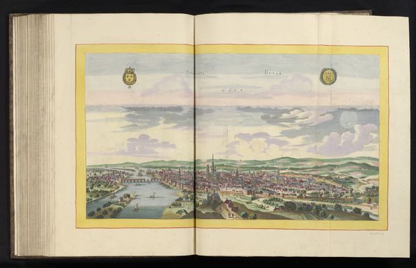
Dimensions: height 409 mm, width 518 mm
Copyright: Rijks Museum: Open Domain
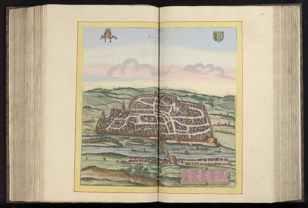
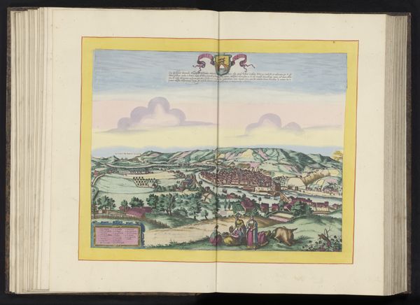
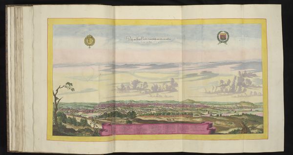
This is an undated, anonymous print of Angers, France rendered in a bird’s-eye view. It depicts the city, complete with descriptions, as it sprawls along the Maine River. Looking closely, we can see how the print served as a tool for civic and regional identity. At the top left and right are heraldic symbols that would have been recognizable to locals, rooting the image in a shared cultural understanding. Meanwhile, the bird’s eye perspective flattens the urban landscape, giving equal weight to landmarks, residences, and fields. The walls surrounding Angers—likely built to control trade and movement—define the boundaries of its inhabitants’ world. Maps like this one offer a glimpse into the cultural and economic dynamics of a specific locale, where civic pride and local governance intersect. By studying such images alongside archival records like census data, guild records, and tax rolls, we can come to better understand the lived experience of the people who once called Angers home.
Comments
No comments
Be the first to comment and join the conversation on the ultimate creative platform.
More like this