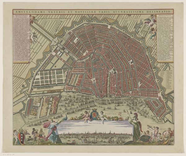
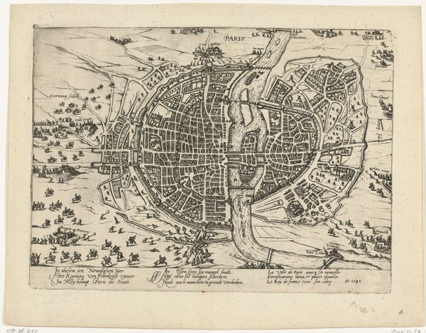
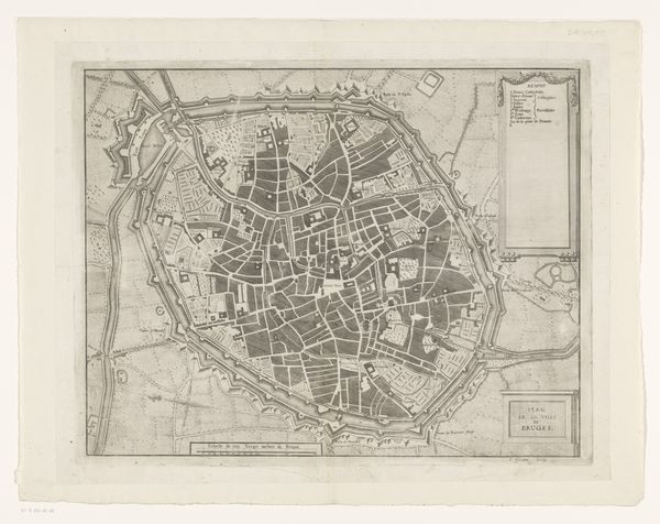
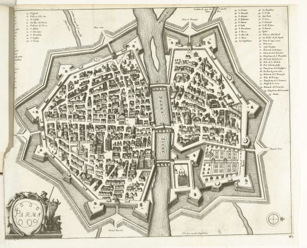
drawing, print, watercolor, ink
#
drawing
#
baroque
# print
#
watercolor
#
ink
#
cityscape
Dimensions: height 247 mm, width 340 mm
Copyright: Rijks Museum: Open Domain
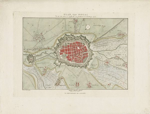
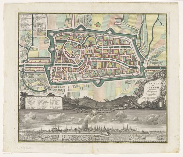
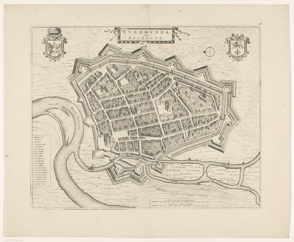
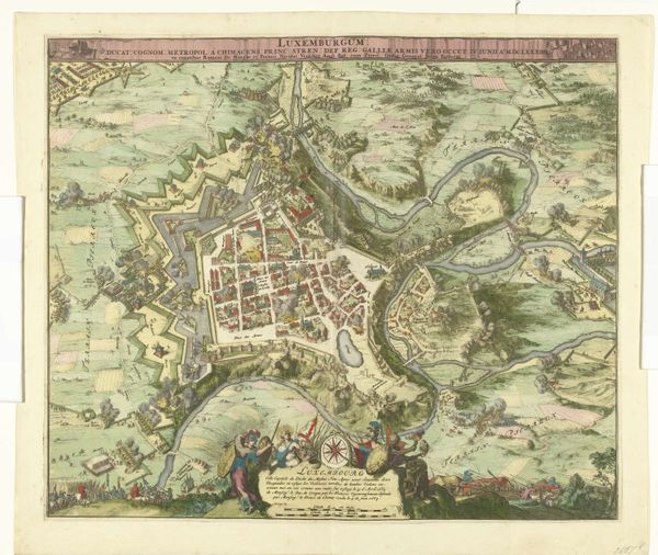
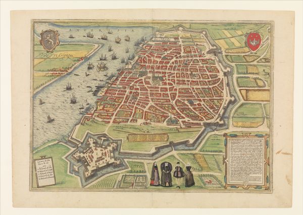
This is an anonymous map of Antwerp, created around 1706 using an engraving technique. Antwerp, a city with a rich history of trade and cultural exchange, found itself at a crossroads in the early 18th century. The map provides a bird's-eye view of the city and its surroundings. It emphasizes the city's fortifications, which were crucial for its defense during a time of frequent conflicts and shifting political alliances. The detailed layout of streets and buildings invites us to imagine the daily lives of Antwerp's inhabitants, from merchants and artisans to the working class and the elite. Consider how class distinctions and social hierarchies might have been reflected in the city's geography, with certain neighborhoods associated with wealth and power, while others were home to the less privileged. Maps are never neutral; they reflect the values and priorities of those who create them. This map is a window into a specific historical moment, one that continues to resonate with our understanding of identity, power, and place.
Comments
No comments
Be the first to comment and join the conversation on the ultimate creative platform.
More like this