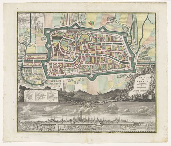
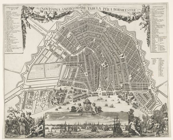
Plattegrond van Amsterdam met stadsgezicht Possibly 1662 - 1720
0:00
0:00
pieterhendrickszschut
Rijksmuseum
print, etching, engraving
#
dutch-golden-age
# print
#
etching
#
etching
#
cityscape
#
engraving
Dimensions: height 488 mm, width 576 mm
Copyright: Rijks Museum: Open Domain
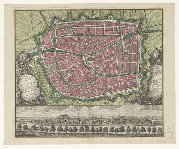
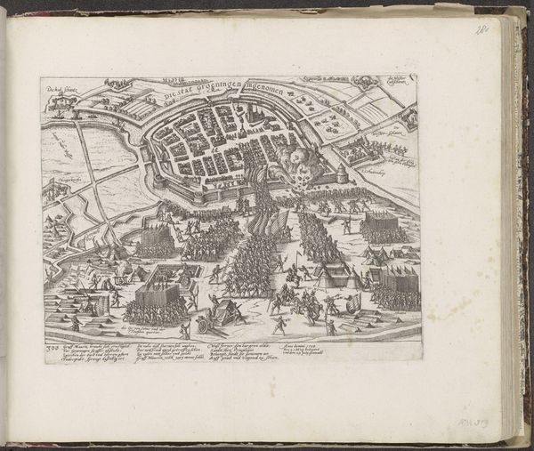
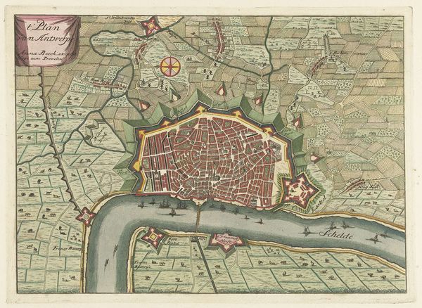
Pieter Hendricksz. Schut made this map of Amsterdam using engraving, and etching, printed on paper. The linear precision of the map, its streets, canals, and buildings, show a real mastery of the engraver's art. Think about the labor involved. Every line was incised by hand into a metal plate, before being printed and then carefully hand-colored. The map transforms the urban environment, usually encountered through lived experience, into a commodity, a graphic object to be circulated and consumed. Looking closely, you'll see a bird's-eye view of the city. It’s both an artistic representation and a practical tool, reflecting Amsterdam’s booming mercantile culture and its mastery of trade routes. This was an era of Dutch expansion, and the map speaks to the desire to chart and possess the world. In the end, this beautiful and useful object reminds us that art, craft, and commerce are always intertwined.
Comments
No comments
Be the first to comment and join the conversation on the ultimate creative platform.
More like this