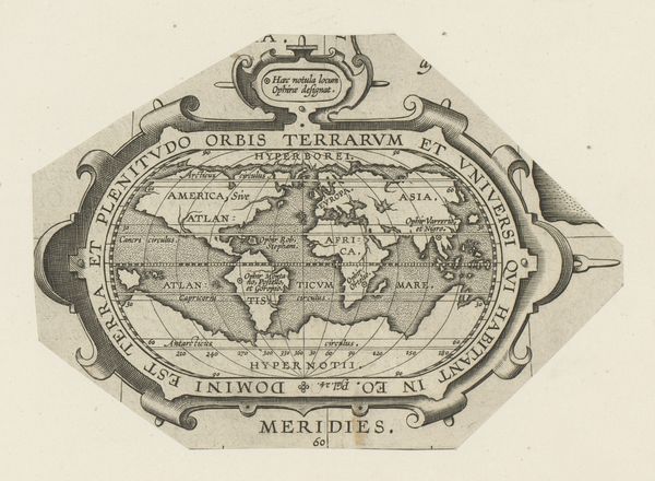
print, paper, engraving
# print
#
landscape
#
paper
#
geometric
#
engraving
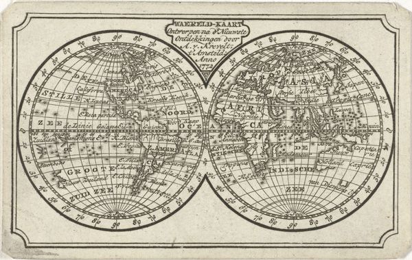
Dimensions: height 158 mm, width 222 mm
Copyright: Rijks Museum: Open Domain
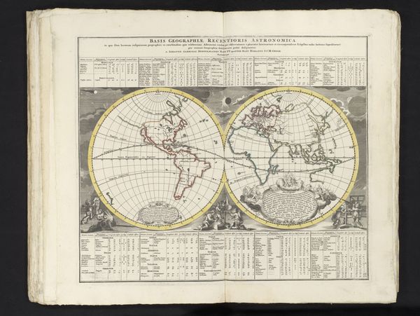
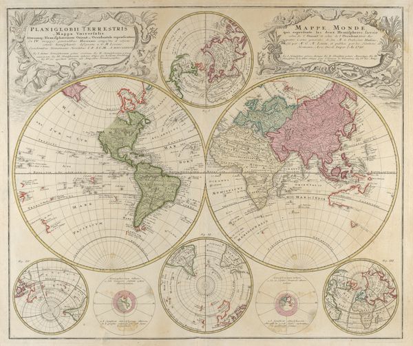
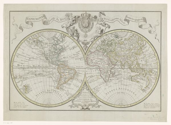
This anonymous map, titled 'Wereldkaart,' meaning world map in Dutch, offers a glimpse into a historical understanding of the world. Made during an era of exploration and colonization, maps like these were not just geographical tools, but also instruments of power, reflecting and reinforcing colonial perspectives. It embodies a worldview shaped by European exploration, with a focus on trade routes and territorial claims. The continents are presented through a Western lens, and bear the markings of colonial ambitions that profoundly impacted the lives and identities of countless people across the globe. The emotional weight of this image lies in its silent testimony to the stories of encounters, conquests, and exchanges that shaped our modern world. Consider the human stories behind these lines on a map, the impact of these representations on cultural identities, and the legacy that persists today.
Comments
No comments
Be the first to comment and join the conversation on the ultimate creative platform.
More like this