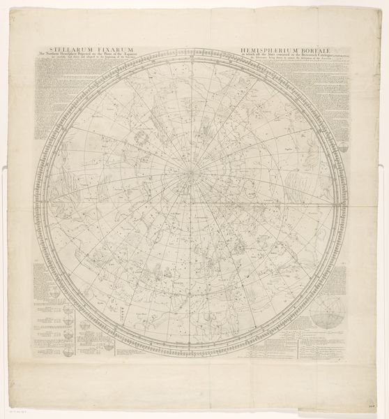
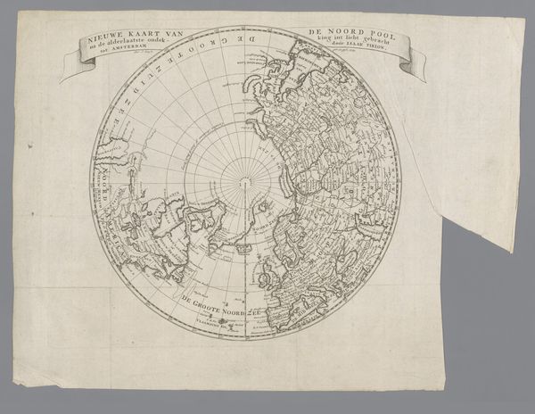
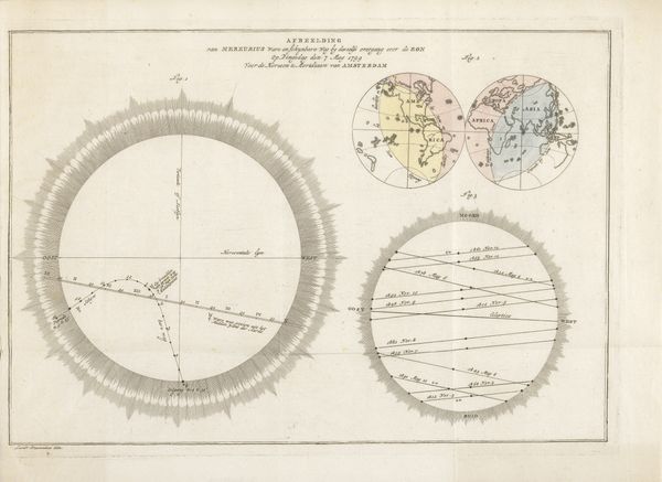
Kaart van het zuidelijk halfrond met de reizen van enkele ontdekkingsreizigers 1799
0:00
0:00
drawing, print, paper, engraving
#
drawing
#
neoclacissism
#
aged paper
#
toned paper
#
light pencil work
# print
#
old engraving style
#
landscape
#
paper
#
tea stained
#
personal sketchbook
#
geometric
#
sketchbook drawing
#
watercolour illustration
#
history-painting
#
sketchbook art
#
engraving
#
watercolor
Dimensions: height 549 mm, width 545 mm
Copyright: Rijks Museum: Open Domain
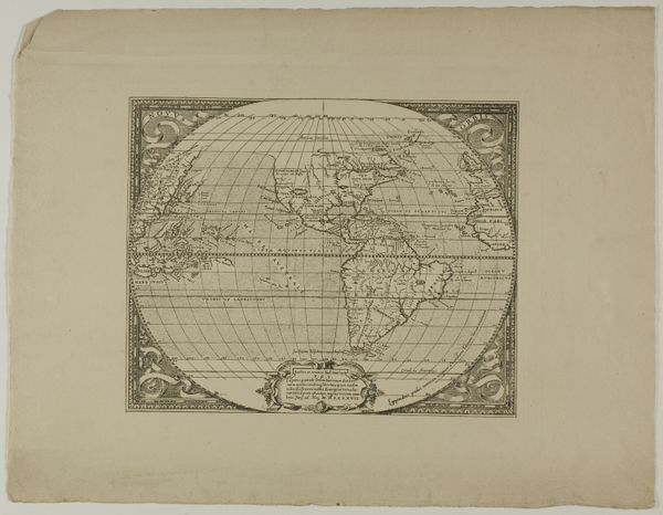
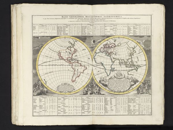
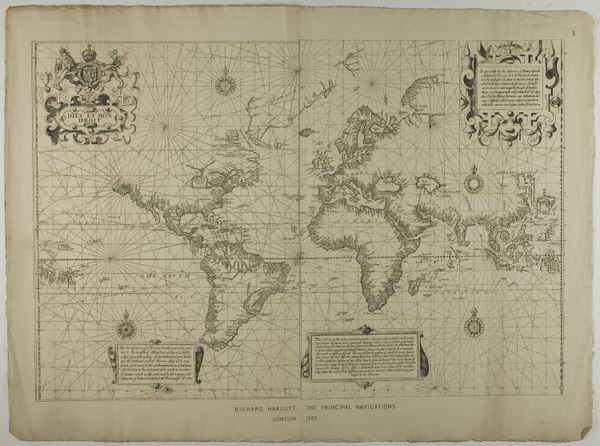
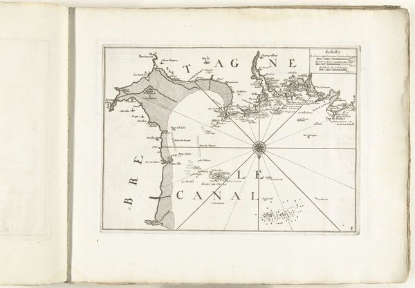
Cornelis van Baarsel's map of the southern hemisphere, made in the late 18th or early 19th century, is dominated by the image of the terrestrial globe. At its heart, this is a symbol of human ambition and the quest for knowledge. The circular format of the map echoes ancient cosmological diagrams, like the 'mappae mundi,' representing the world as a disc surrounded by ocean. This recalls the medieval understanding of the world and the divine order. The compass rose is not merely a navigational aid; it embodies mankind's desire to orient itself in an ever-expanding world. The act of mapping itself is a ritualistic symbol of control and understanding, a means to tame the unknown. This act carries with it an emotional weight—the thrill of discovery, the anxiety of the uncharted. Such tension continues to resonate, engaging us in a dialogue between the known and the imagined. This cyclical progression of exploration and discovery continues; the motifs of cartography resurface time and again, evolving with each age, yet still tied to our primal urge to comprehend and conquer our world.
Comments
No comments
Be the first to comment and join the conversation on the ultimate creative platform.
More like this