Plattegronden van de forten Rebus, Balaguier, Henuin en Ager, ca. 1702 1702 - 1703
0:00
0:00
anonymous
Rijksmuseum
drawing, ink, pen, engraving
#
drawing
#
baroque
#
pen sketch
#
landscape
#
ink
#
geometric
#
pen
#
cityscape
#
history-painting
#
engraving
Dimensions: height 258 mm, width 339 mm
Copyright: Rijks Museum: Open Domain
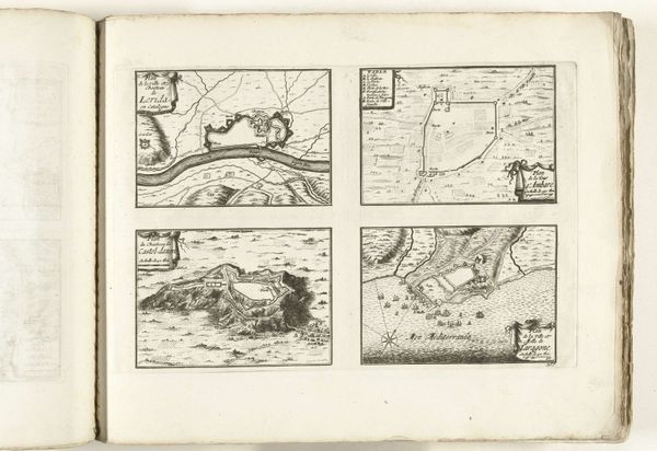
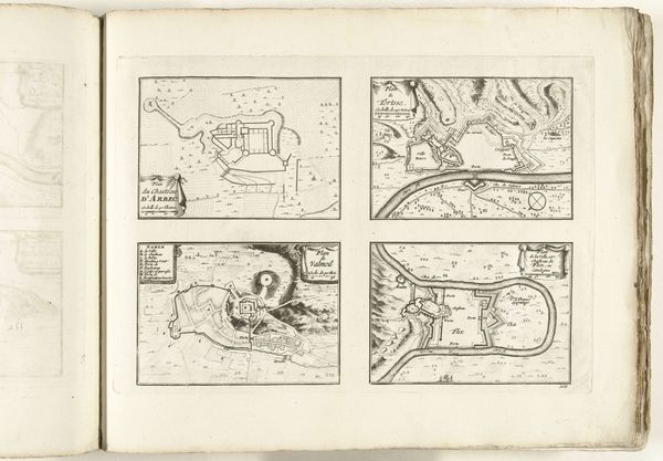
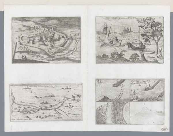
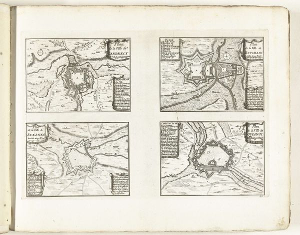
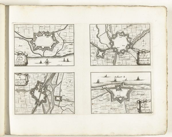
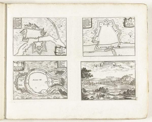
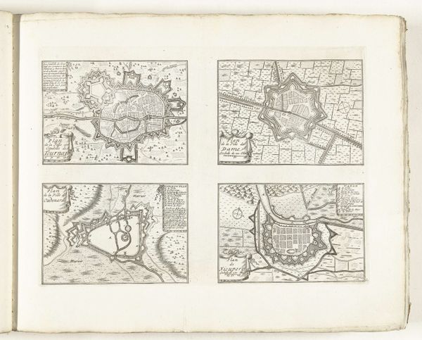
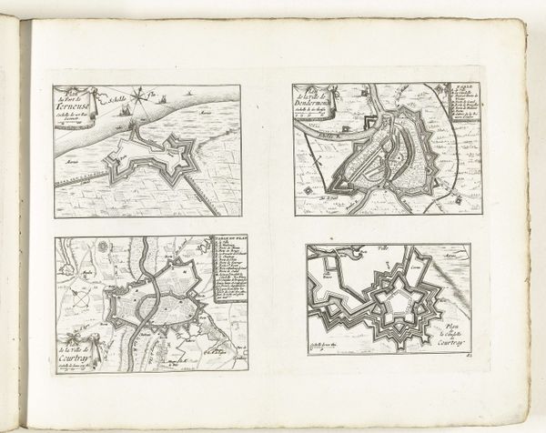
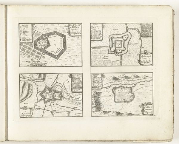
Around 1702, an anonymous artist created these four plans of the forts Rebus, Balaguier, Henuin, and Ager. The maps, rendered in ink on paper, offer a glimpse into the military strategies and territorial ambitions that defined Europe at the turn of the 18th century. It's important to remember that these aren't neutral documents. They were tools of power. They represent a desire to control territory, trade routes, and people. What we see on the surface is technical drawings, but underneath is a web of human stories marked by conflict. Consider the labor required to build and maintain these fortifications, and the impact on the surrounding populations. These plans invite us to reflect on the relationship between cartography, power, and lived experience. They serve as a poignant reminder of the human cost of geopolitical strategy. They also reveal how the visual representation of space can influence and shape the course of history.
Comments
No comments
Be the first to comment and join the conversation on the ultimate creative platform.
More like this