print, engraving
#
baroque
# print
#
geometric
#
cityscape
#
history-painting
#
engraving
Dimensions: height 548 mm, width 651 mm
Copyright: Rijks Museum: Open Domain
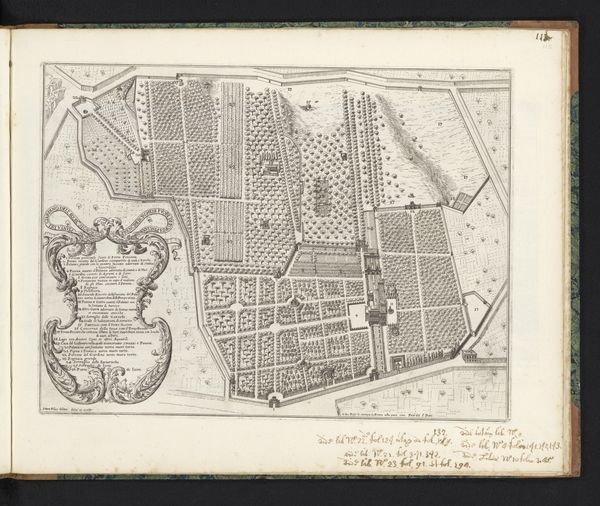
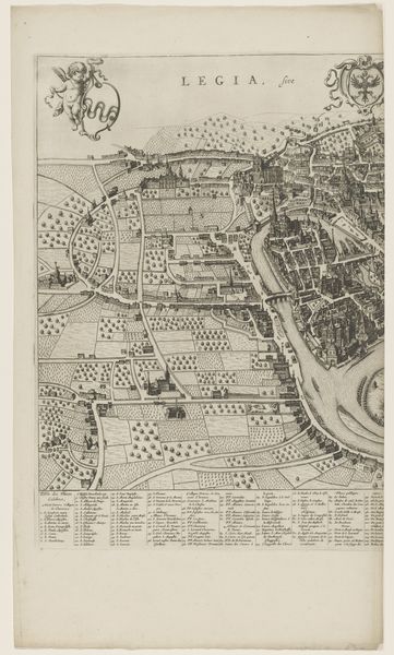
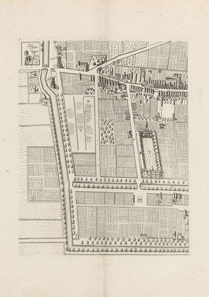
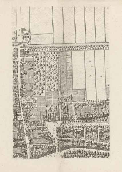
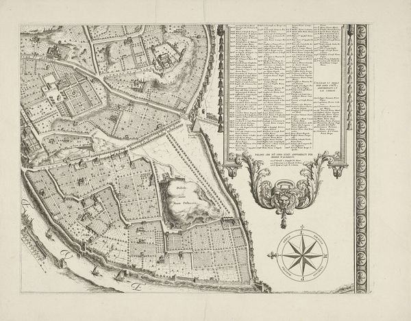
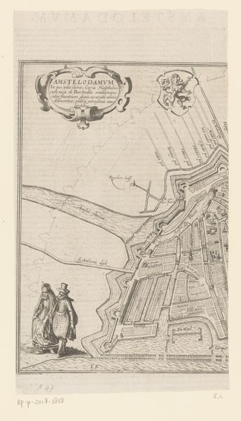
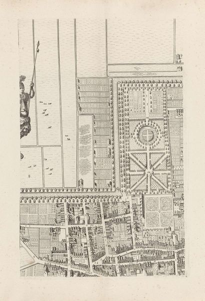
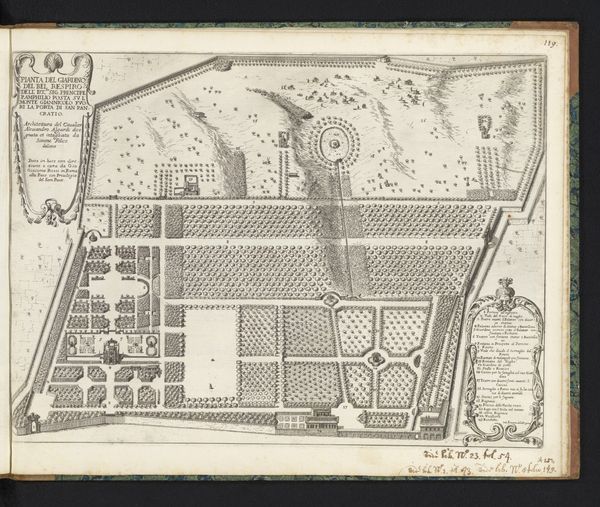
Cornelis Elandts created this detailed plan of The Hague sometime in the 17th century. It is an engraving, a medium that favours clear lines and precise detail. The image is dominated by a dense network of geometric shapes that represent buildings, gardens and canals. The organization of space is rigorously structured, with straight lines and right angles defining the layout of the city. This strict geometry is softened by the heraldic shield at the top, supported by cherubic figures, which adds a layer of symbolic meaning to the otherwise functional map. Here, the use of line becomes particularly important. The precision of the lines allows for a detailed representation of urban space, but it also imposes a certain order and control. Look at the way Elandts uses line to delineate buildings. It is not just about representation, but about creating a sense of order. This interplay between detailed observation and imposed order makes the work a fascinating intersection of art, cartography, and social ideology.
Comments
No comments
Be the first to comment and join the conversation on the ultimate creative platform.
More like this