print, engraving
#
dutch-golden-age
# print
#
pencil sketch
#
landscape
#
engraving
Dimensions: height 362 mm, width 539 mm
Copyright: Rijks Museum: Open Domain
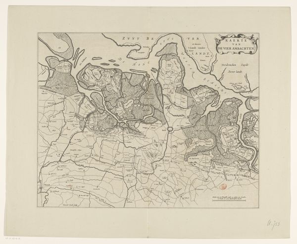
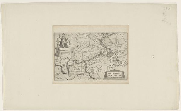
This is a section of a map of Overwaard, made by Jan van Vianen sometime between 1660 and 1726. It's an etching, which means the artist would have coated a metal plate with wax, then drawn into the wax to expose the metal underneath. When the plate was bathed in acid, the drawn lines would be eaten away. Ink could then be applied to the plate, wiped off the surface, and the remaining ink in the etched lines transferred to paper in a printing press. The material quality of the etching – those crisp, precise lines – gives a sense of control over the land. You can imagine the map being a tool for those who sought to manage and profit from this territory. The very act of mapping, of dividing the land into parcels, speaks to a desire to impose order and ownership. Consider the labor involved: from the initial survey of the land to the skilled hand of the etcher, to the work of the printer who created multiple impressions. All this effort underscores the economic and political importance of land in the Dutch Golden Age. It's a reminder that even a seemingly simple print is the result of complex social and economic forces.
Comments
No comments
Be the first to comment and join the conversation on the ultimate creative platform.
More like this