drawing, print, ink, engraving, architecture
#
drawing
#
baroque
# print
#
pen sketch
#
landscape
#
ink
#
cityscape
#
engraving
#
architecture
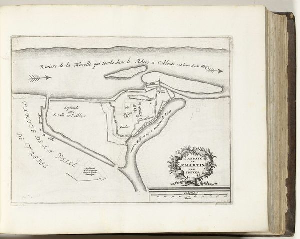
Dimensions: height 212 mm, width 281 mm
Copyright: Rijks Museum: Open Domain
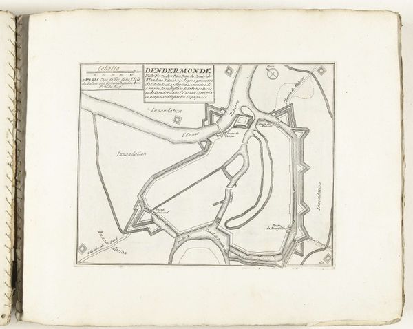
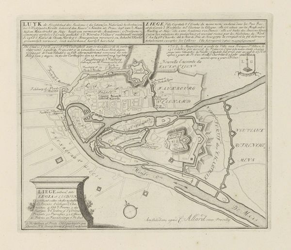
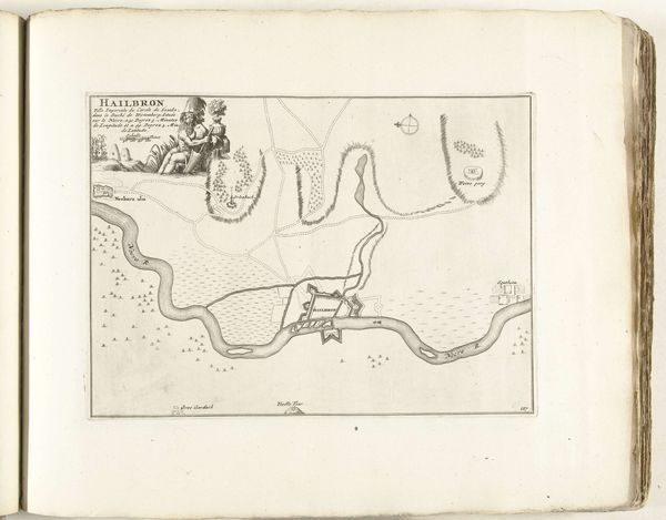
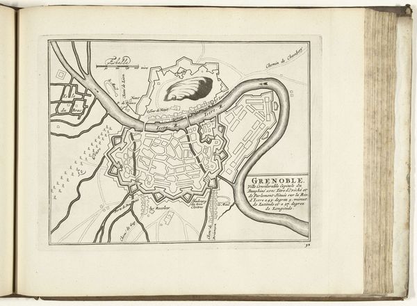
Curator: Here we have a plan of St. Martin’s Abbey near Trier, rendered in 1726. It’s a beautiful example of Baroque cartography. The delicate lines of the engraving articulate the abbey's relationship to the surrounding rivers and city. Editor: The ink on this drawing looks faded, almost spectral. There's something mournful in its presentation of what I imagine was once a vibrant center of religious life. You immediately see its placement amidst waterways as a point of connection. Who controlled that access, and to what ends? Curator: A compelling point. Let's examine how the layout uses spatial arrangement. Notice the deliberate lines that form the fortifications and architecture; they denote power through visual hierarchy. The abbey's strategic positioning at the confluence of rivers isn’t arbitrary; it’s a statement of its control and influence, geometrically and physically. Editor: Indeed. The map is less about geographic accuracy and more about communicating power. Who commissioned this? What would they gain by asserting this presence in ink? It becomes a blueprint not just for a building, but for social control, a visible manifestation of the Church's reach. Curator: Precisely. It’s also interesting how the engraving employs linear perspective to flatten space and make legible different parts. Look at how even though it's an "aerial" view, the buildings maintain readable facades—essential for portraying the grand scale and visual impact of the Abbey's architecture. Editor: But what about those beyond the walls, outside this designed space? What impact did this structure have on the lives of those who did not benefit from the church's protection? The engraver gives the waterways such expressive character as to dwarf human inhabitants outside the abbey walls, no doubt to assert that the structure is enduring as its physical context changes. Curator: Such maps give insight into what aspects of urban space architects sought to amplify as lasting achievements of form and function. Editor: Agreed. These maps not only guide the viewer through physical space, but provoke questions about power and spatial politics that ripple even into the present day.
Comments
No comments
Be the first to comment and join the conversation on the ultimate creative platform.
More like this