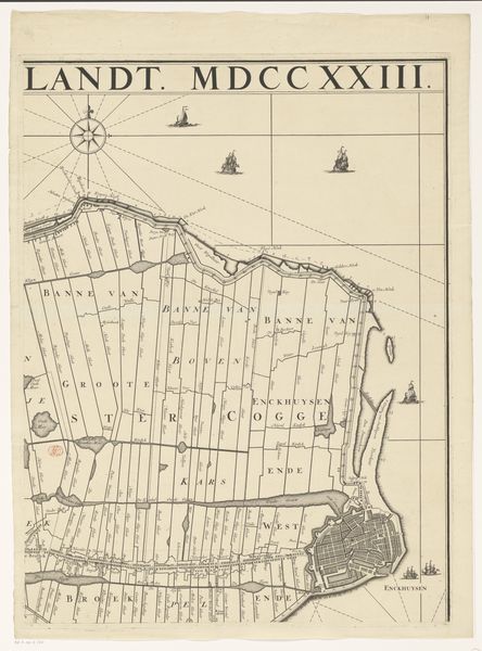
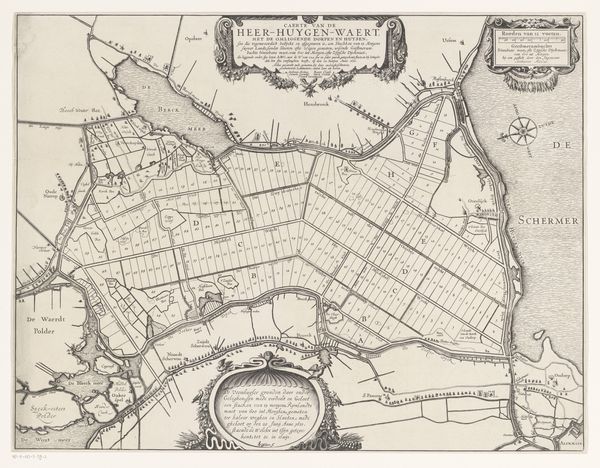
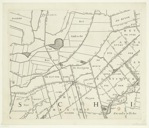
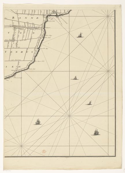
Kaart van het dijkgraafschap Drechterland (derde deel van onder) after 1723
0:00
0:00
hendrikdeleth
Rijksmuseum
print, etching
#
dutch-golden-age
# print
#
etching
#
etching
Dimensions: height 670 mm, width 508 mm
Copyright: Rijks Museum: Open Domain
This is the third section of Hendrik de Leth's map of the Drainage Board of Drechterland, made in the mid-18th century. It is an engraving, which means that the image was incised into a metal plate, likely copper, and then printed onto paper. Look closely, and you can see the subtle texture of the paper itself. This wasn't just a blank support; it was a carefully chosen material, and the lines of the engraving would be delicately pressed into it. Note the fine lines and meticulous detail. The creation of such a map required not only technical skill, but a deep understanding of the land itself, and an ability to translate its complex features into a two-dimensional representation. Consider the social context: this map wasn't just a beautiful object; it was a tool for governance, property, and power. In fact, such maps were instruments of control, defining territories and facilitating resource management. Far from 'high' art, this print shows how the craft of engraving could be employed in the service of political and economic administration.
Comments
No comments
Be the first to comment and join the conversation on the ultimate creative platform.
More like this