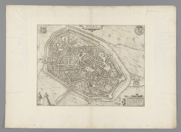
A survey of the cities of London and Westminster and the Borough of Southwark written at first in the year 1698 (i.e. 1598)..Corrected, improved, and very much enlarged in the year 1720 by John Strype 1754 - 1755
0:00
0:00
drawing, print, engraving
#
drawing
# print
#
cityscape
#
engraving
Copyright: Public Domain
Curator: This engraving offers a fascinating snapshot of London. Produced around 1754-1755, it's titled "A survey of the cities of London and Westminster and the Borough of Southwark..." and attributed to John Strype, based on earlier work by John Stow. The original survey was done much earlier, in the late 16th century, almost two hundred years earlier. Editor: It feels incredibly dense, a compressed geography that reflects both the power and the potential problems of urban expansion. Curator: It really highlights the physical realities and the political power dynamics shaping London at that moment. Who has access? Where does that access extend to? Who is visible and not visible within its confines? Maps are not just representations of spaces, but the very construction of that space as understood by its elite at the time. This is where Foucault's theories about knowledge and power becomes helpful. Editor: Absolutely. And consider the almost labyrinthine street layout, codified by a "table of references." It evokes a sense of encoded knowledge, accessible only to those 'in the know.' It makes me think about secret societies. Curator: It’s interesting you mention the "labyrinth." In Jungian psychology, that evokes a challenging inner journey... Editor: Exactly! Perhaps Strype unknowingly alludes to London’s role as the center of a vast, complicated empire – the symbolic weight of that power. We, as viewers, are placed outside, perhaps removed, but never apart. Curator: Yet, what’s powerful to me is Strype’s effort in presenting a totality, a complete picture of London as a cohesive unit. It speaks to the prevailing ideologies around order, reason, and progress during the Enlightenment period. The use of printed media contributes to the solidification of this new modern reality and helps naturalize its uneven power relations. Editor: Ultimately, isn't this a beautiful collision of art and urban planning? This print serves not only as a historical document, but a lasting statement on urbanity itself. Curator: A statement ripe for continual reassessment through new analytical frameworks and through close observation of its enduring iconography.
Comments
No comments
Be the first to comment and join the conversation on the ultimate creative platform.
More like this