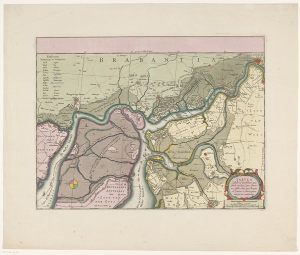
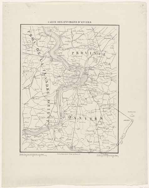
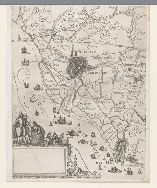
Kaart met de Franse stellingen van waaruit de stad Brussel is gebombardeerd, 1695 1695
0:00
0:00
print, pen, engraving
#
baroque
# print
#
pen sketch
#
old engraving style
#
pen work
#
pen
#
history-painting
#
engraving
Dimensions: height 385 mm, width 314 mm
Copyright: Rijks Museum: Open Domain
Editor: So, here we have "Kaart met de Franse stellingen van waaruit de stad Brussel is gebombardeerd, 1695," from 1695. It's a print, an engraving, so it's quite detailed. It strikes me as a rather unsettling historical record, capturing a moment of immense upheaval for the city. What do you see in this piece? Curator: This isn’t just a map; it’s a document of power, violence, and the political landscape of the time. Think about it: cartography itself has always been intertwined with colonial ambitions, territorial control, and the justification of military action. Here, the detailed rendering of Brussels isn’t just informative – it's a visual representation of the city's vulnerability and the reach of French power. Consider who commissioned this map, and what their motivations might have been. Editor: That’s fascinating. It’s almost like the act of mapping itself is an act of aggression, documenting and therefore controlling space. Curator: Exactly. The ‘pen work’ as some have called it, with its delicate lines, belies the violence it depicts. What does it mean to render such destruction in such an elegant style? The aestheticization of war has always been a troubling phenomenon. How might feminist perspectives challenge the traditional, often glorified, narratives of military history presented here? Editor: It's unsettling to think of something so destructive depicted so precisely and almost...beautifully. I see the Baroque style as maybe downplaying the horrors in favor of the...aesthetics of power, maybe. Curator: The use of print also allowed for wider dissemination of this image. In your opinion, what was the role of such mass produced images in shaping public opinion, both in support and in opposition to the bombardment? These images don't simply reflect events, they actively participate in the construction of history and memory. Editor: It completely changes my perspective! Thanks for pointing out the many aspects, and especially, those ethical and social implications of it. Curator: Indeed! Always question the dominant narratives, explore the hidden power dynamics, and consider whose voices are missing from the picture.
Comments
No comments
Be the first to comment and join the conversation on the ultimate creative platform.
More like this