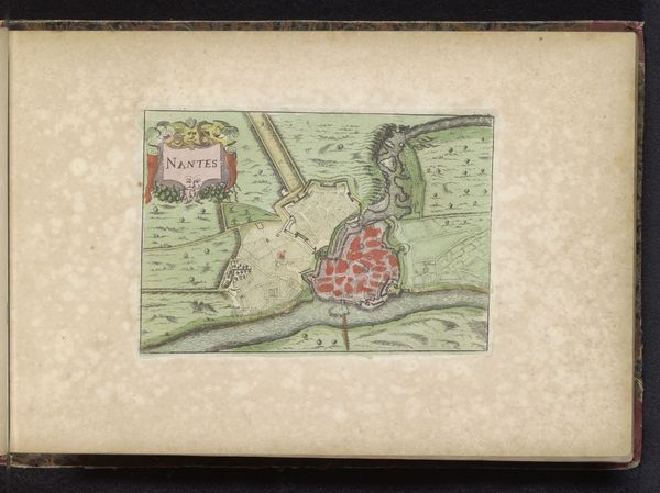
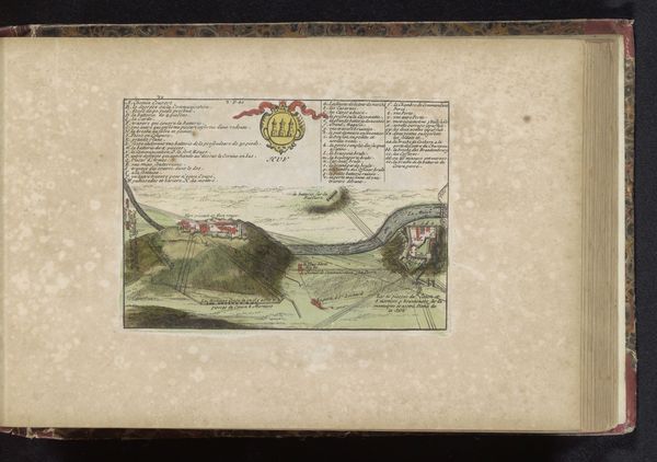
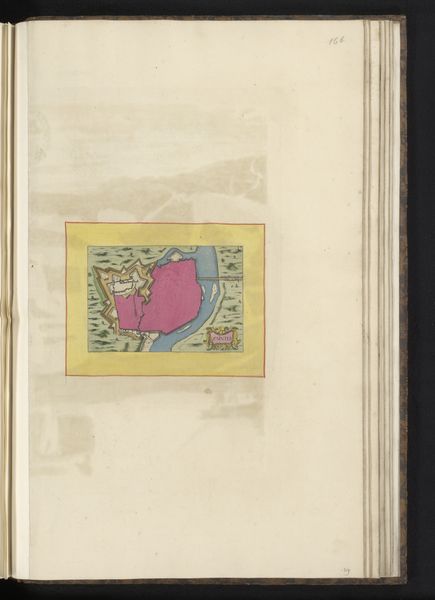
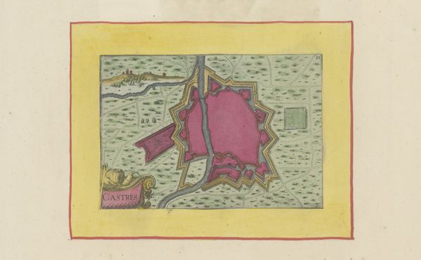
print, engraving
#
baroque
# print
#
landscape
#
engraving
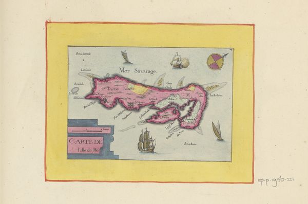
Dimensions: height 113 mm, width 172 mm
Copyright: Rijks Museum: Open Domain
This hand-colored map of Île de Ré offers a glimpse into early modern European cartography and its connection to social and political power. The island, off the coast of France, is rendered with a mix of precision and imagination. Consider the map's function: it's not just about geographical accuracy, but also about claiming knowledge and control over territory. The presence of ships, sea monsters, and wind roses speaks to the maritime interests of the time, when naval power was central to European politics and economy. This map was probably made in France, a nation that was in the process of building a vast maritime empire. The naming of places, the visual codes used to represent terrain, and even the decorative elements, all reflect the social values and institutional structures of the era. By consulting historical records, maritime archives, and collections of maps and prints, we can reconstruct the world in which this image was made and consumed. The meaning of art is always embedded in social and institutional context.
Comments
No comments
Be the first to comment and join the conversation on the ultimate creative platform.
More like this