drawing, print, paper, ink
#
drawing
# print
#
paper
#
ink
#
ancient-mediterranean
#
cityscape
Dimensions: height 104 mm, width 152 mm, height 532 mm, width 320 mm
Copyright: Rijks Museum: Open Domain
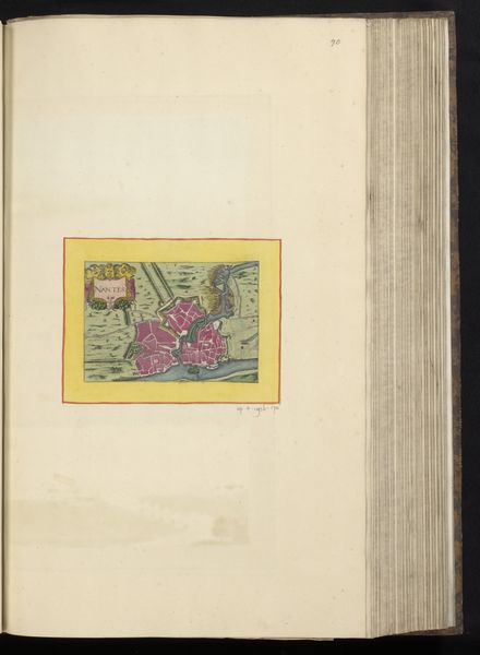
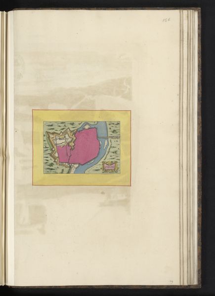
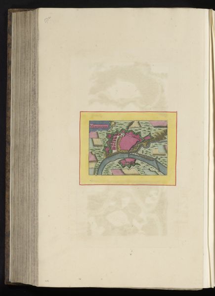
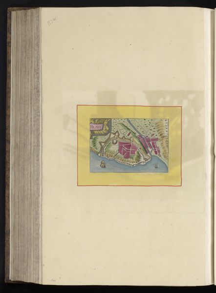
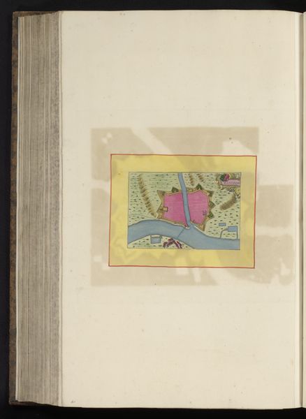
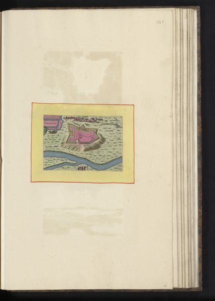
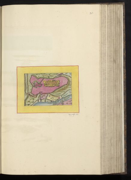
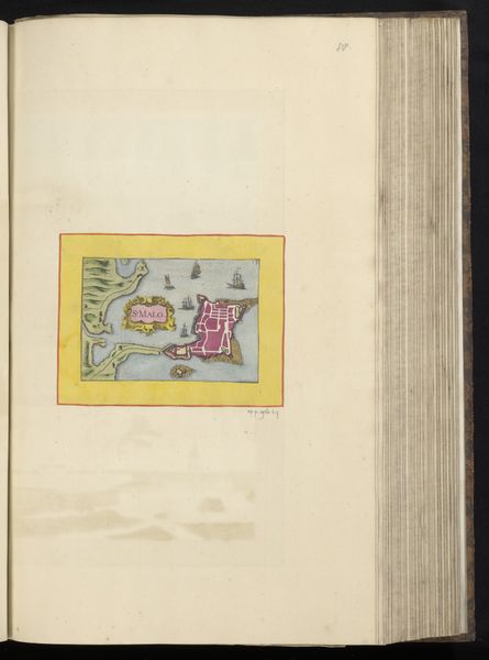
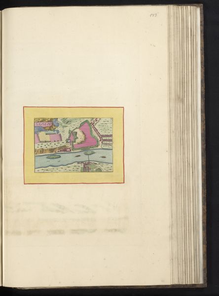
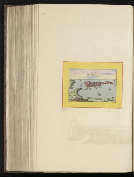
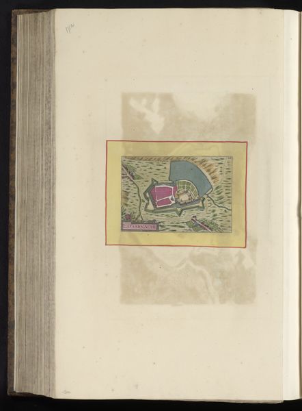
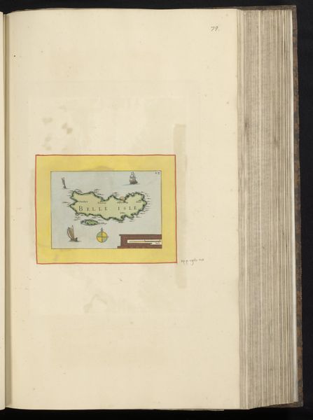
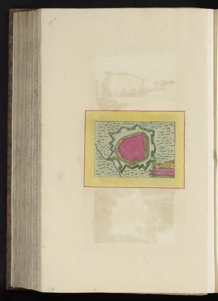
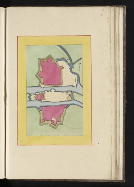
This colorful map of Rennes was produced anonymously, likely in the early modern period, and bound into an atlas or similar collection. At this time, the production of maps was closely linked to state power. They served military purposes, of course, but also assisted in taxation, urban planning, and the administration of territories. In addition, the making of maps and atlases became an important part of civic identity for many European cities, a way of declaring their importance on the world stage. Notice that the image has been placed in the center of the page like a work of art: this suggests that even a document like a map can be admired for its aesthetic qualities. Historians might look at maps like these to learn about urban life at the time of their making. Looking at old maps in conjunction with other documents helps us reconstruct the ways that people understood their relationship to space.
Comments
No comments
Be the first to comment and join the conversation on the ultimate creative platform.
More like this