drawing, ink
#
drawing
#
dutch-golden-age
#
pen illustration
#
landscape
#
ink
Dimensions: height 499 mm, width 1429 mm
Copyright: Rijks Museum: Open Domain
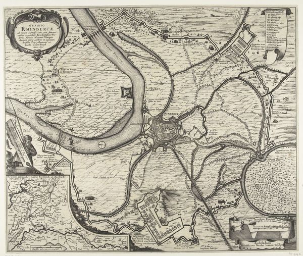
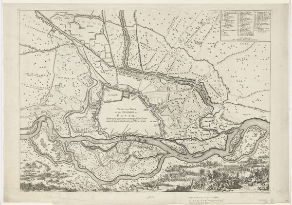
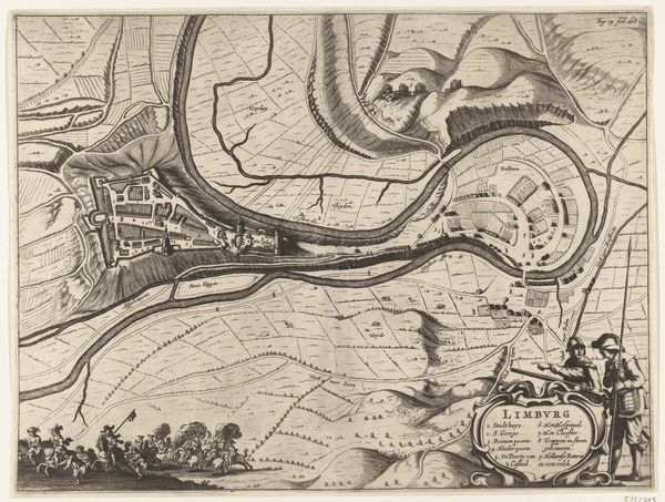
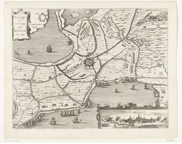
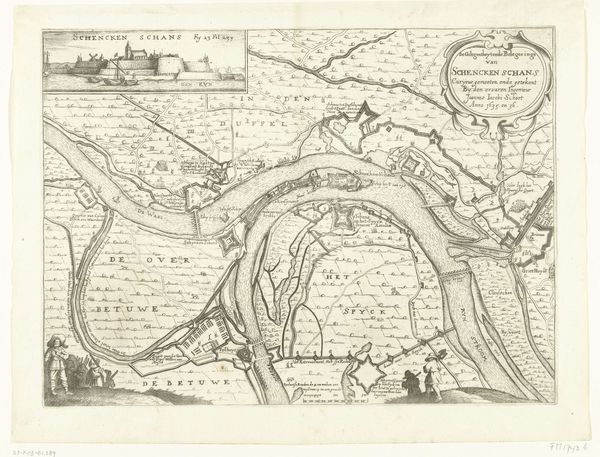
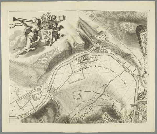
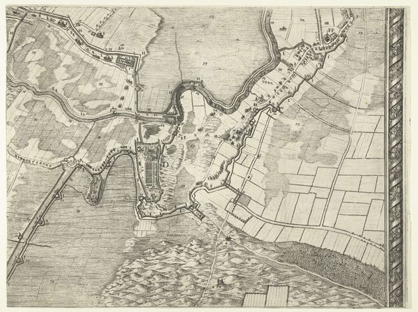
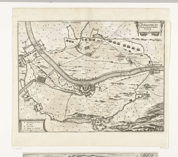
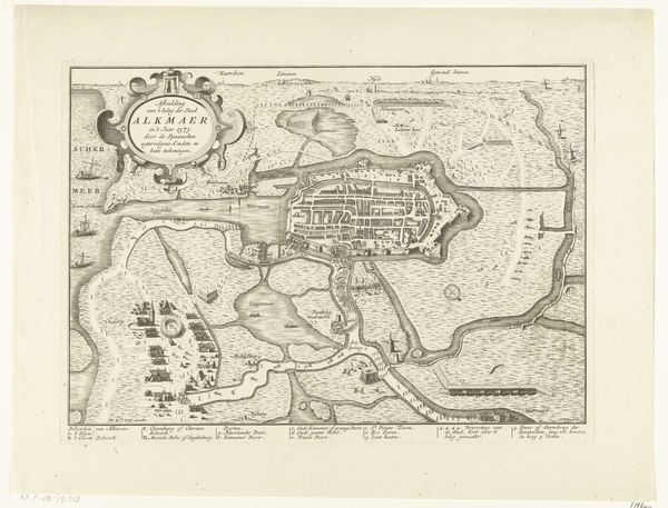
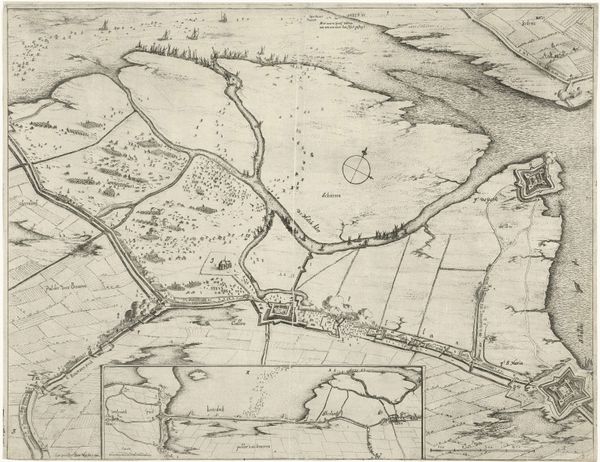
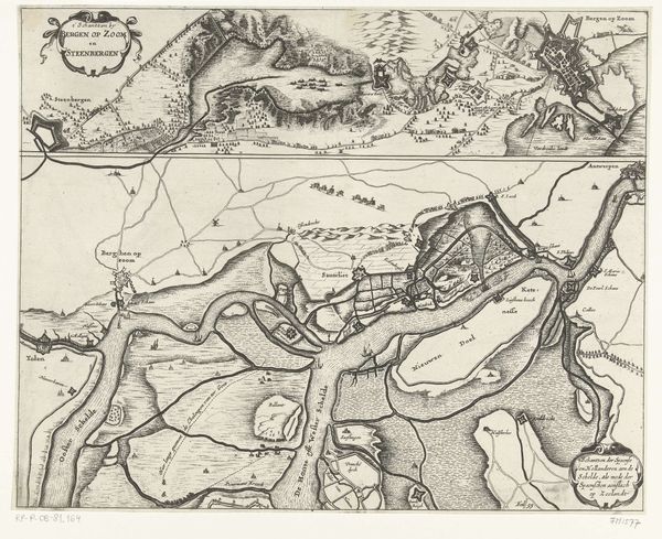
Joost van Geel produced this map of the Maas River from Rotterdam to the North Sea using etching. The composition strikes us with its linear precision, a cartographic elegance where the river's course dominates. Van Geel utilizes fine lines and careful shading to articulate the terrain, evoking a sense of organized clarity. The map's structure embodies a structured vision of space. The formal organization of this etching shows more than just geographic data, it also reflects the period's concerns with control and knowledge, turning landscape into structured information. Its detailed rendering alludes to a worldview where scientific observation and rational mapping are considered paramount. The representation of space isn't just about location, but it's about imposing a certain order on the world.
Comments
No comments
Be the first to comment and join the conversation on the ultimate creative platform.
More like this