print, engraving
#
dutch-golden-age
# print
#
old engraving style
#
landscape
#
cityscape
#
engraving
Dimensions: height 176 mm, width 215 mm
Copyright: Rijks Museum: Open Domain
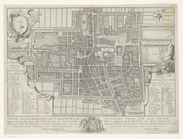
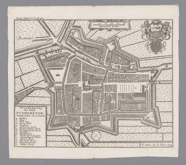
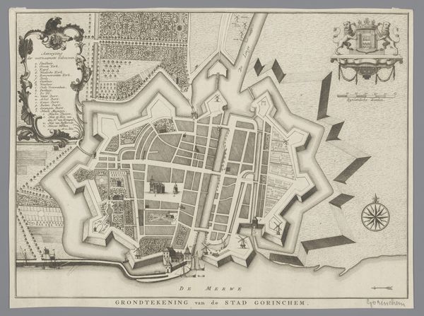
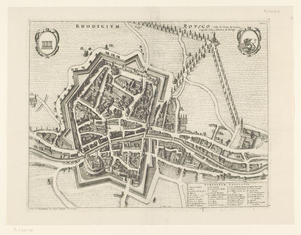
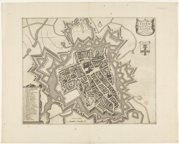
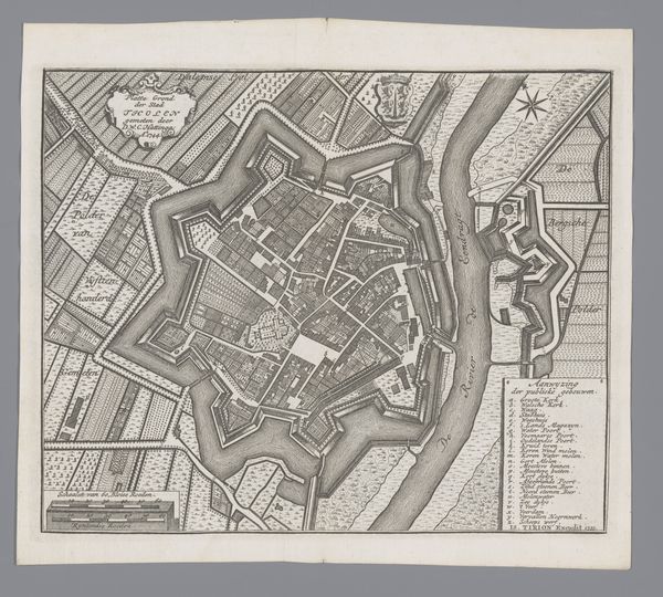
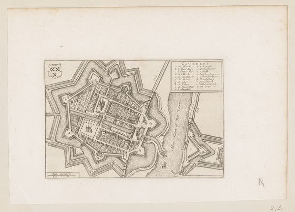
Editor: Here we have "Plattegrond van Alkmaar," an engraving created sometime between 1715 and 1765 by an anonymous artist. It’s currently housed in the Rijksmuseum. I'm immediately struck by the intricate details; it feels like looking at a living organism, this sprawling network of streets and fortifications. What do you see in this piece, and how do you interpret it? Curator: Well, it makes me think of a forgotten world, like peering into a time capsule, don't you think? Look closely—each stroke feels so deliberate, creating this wonderfully precise and idealized portrait. I’m thinking about the mindset of people living back then and their ambitions for urban life. Isn’t it captivating to see the blend of planning and potential chaos? It seems a far cry from Google Maps, right? I can imagine getting thoroughly lost in those little streets. Editor: Absolutely. And the walls around the city – it feels like such a different concept of safety and community than we have now. So, do you think the artist was trying to capture the city's essence, or more like celebrating human progress? Curator: Perhaps it's a little of both, capturing a sense of civic pride, maybe even control, right? I find myself wondering what kind of patron commissioned it and what their reasons were. A tool for planning? For bragging? It invites all sorts of whimsical wonderings... Editor: That’s a great point. I never considered the "bragging" angle. It's interesting how a simple map can hold so many layers. I think I'll look at maps very differently from now on. Curator: Exactly! Maps can really capture a moment in time, holding dreams and ambitions as much as just geographical facts. Thanks for walking the streets of old Alkmaar with me; it sparked a thought or two!
Comments
No comments
Be the first to comment and join the conversation on the ultimate creative platform.
More like this