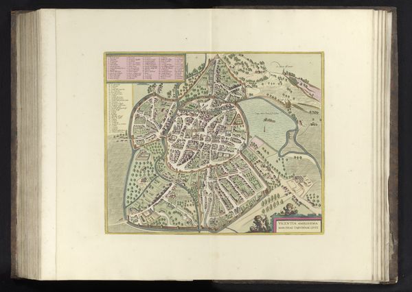
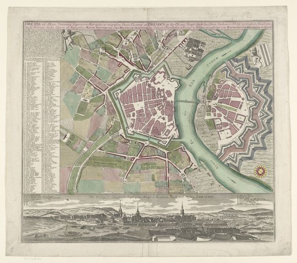
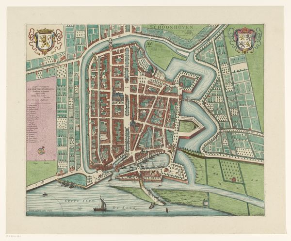
graphic-art, print, paper
#
graphic-art
# print
#
paper
#
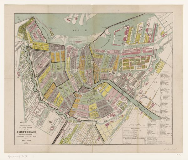
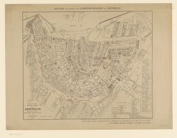
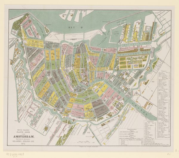
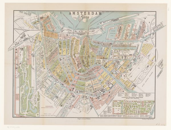
cityscape
Dimensions: height 401 mm, width 510 mm
Copyright: Rijks Museum: Open Domain
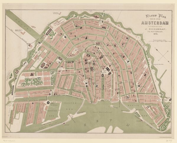
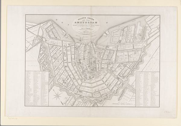
This is an anonymous map of Amsterdam. While undated, it offers a fascinating insight into the city's urban fabric and its relationship to the surrounding landscape. The visual codes of the map—the careful rendering of canals, streets, and buildings—reflect a specific moment in Amsterdam's history. Its creation would have been influenced by the economic structures that drove Amsterdam’s growth as a major trading hub. The map functions as a tool for commerce and governance, highlighting the importance of spatial organization and control in a bustling metropolis. Further historical and archival research can reveal when this was made, and the institutional context that shaped its production. By understanding the social conditions and institutional forces behind this map, we gain insight into the complex relationship between urban space and power.
Comments
No comments
Be the first to comment and join the conversation on the ultimate creative platform.
More like this