drawing, print, paper, ink, engraving
#
drawing
#
aged paper
#
toned paper
#
light pencil work
#
baroque
# print
#
pen sketch
#
sketch book
#
paper
#
personal sketchbook
#
ink
#
geometric
#
pen-ink sketch
#
pen work
#
sketchbook drawing
#
cityscape
#
sketchbook art
#
engraving
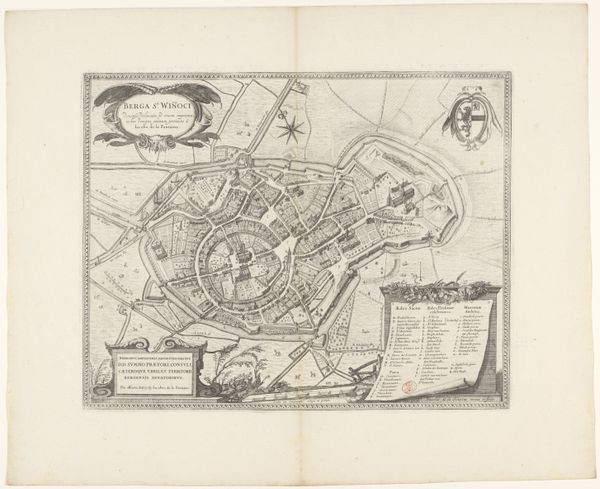
Dimensions: height 205 mm, width 267 mm
Copyright: Rijks Museum: Open Domain
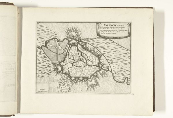
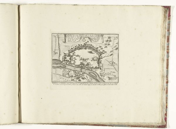
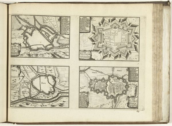
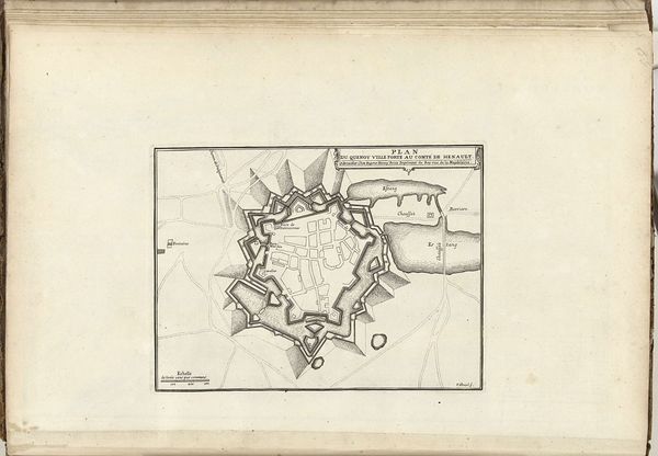
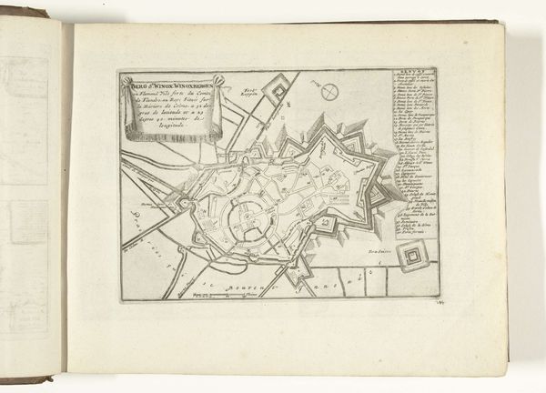
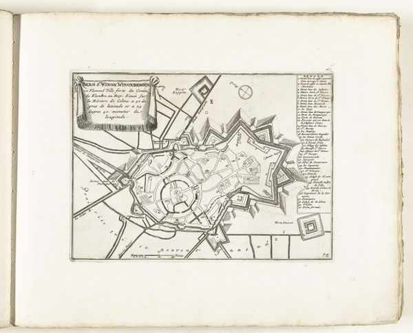
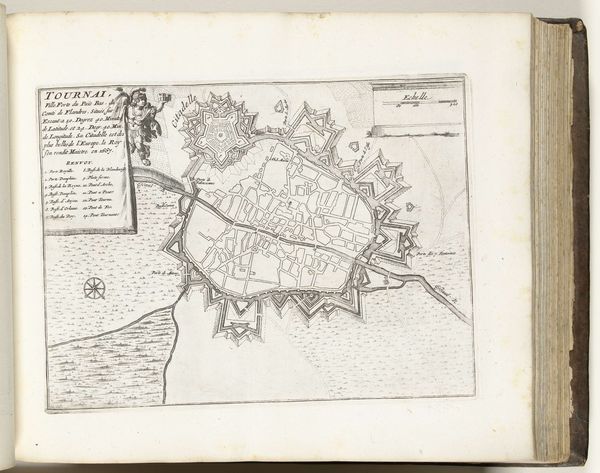
This is Jacobus Harrewijn’s 1709 etching of the city of Douai. Harrewijn, born in the Dutch Republic, lived through a tumultuous period of shifting political power. His career reflects the demands of a society embroiled in territorial disputes. Douai, located in French Flanders, was a strategic site during the War of the Spanish Succession. Harrewijn's detailed depiction isn’t just cartography; it's a visual assertion of power, a tool used to define and control territory. Consider the map as more than an objective record. It embodies the social and political anxieties of the time. Each line and angle delineates power structures and the aspirations of those who sought to control it. The map invites reflection on how we perceive and represent space. What does it mean to map a place, to claim it through representation? What are the implications when such representations are used as instruments of war and governance? These questions encourage us to critically engage with the politics embedded in seemingly neutral documents.
Comments
No comments
Be the first to comment and join the conversation on the ultimate creative platform.
More like this