Kaart van de zuidkust van Engeland met een gedeelte van het eiland Wight 1710 - 1751
0:00
0:00
graphic-art, print, etching
#
graphic-art
#
baroque
# print
#
etching
#
etching
Dimensions: height 380 mm, width 511 mm
Copyright: Rijks Museum: Open Domain
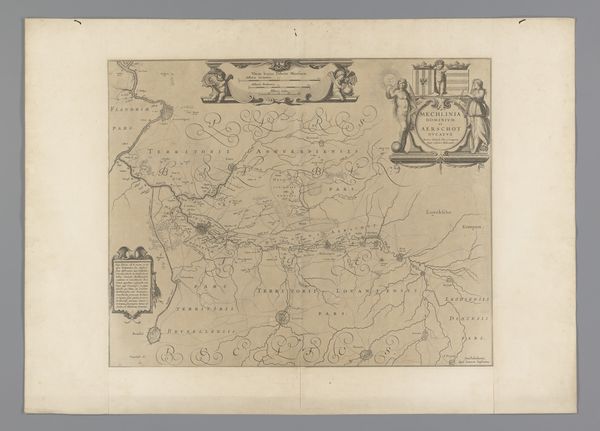
This map of the south coast of England, including the Isle of Wight, was made by Jodocus Hondius, sometime around the turn of the 17th century. Produced during the early modern period, this map reflects a growing interest in cartography, driven by trade, exploration, and military strategy. Hondius, a Flemish engraver and cartographer based in Amsterdam, would have compiled it from various sources. Maps like these aren't just geographical tools; they’re statements of power. They visually assert control over territory, defining boundaries and trade routes. Note how coats of arms and decorative elements frame the geographical data, asserting both political power and civic pride. To truly understand this map, we need to delve into the social and economic history of England at this time. Archival records, trade documents, and family histories can shed light on the map's intended audience and its role in shaping perceptions of the region. We can reflect on its meaning as something contingent on social and institutional context.
Comments
No comments
Be the first to comment and join the conversation on the ultimate creative platform.
More like this