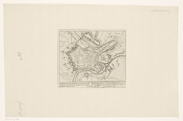
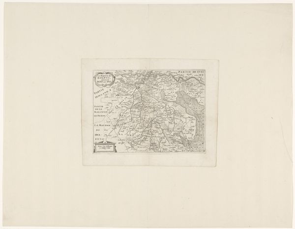
print, engraving
#
dutch-golden-age
# print
#
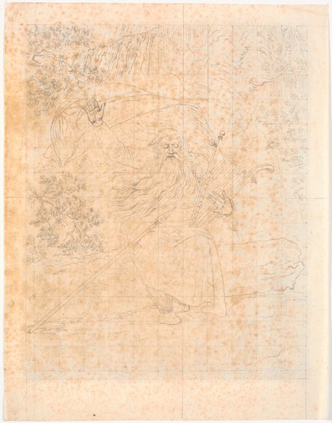
landscape
#
geometric
#
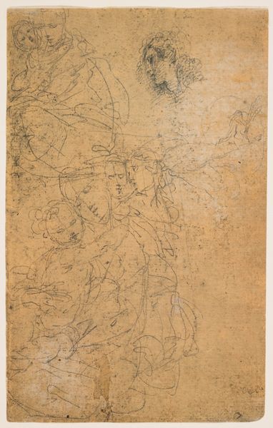
history-painting
#
engraving
Dimensions: height 458 mm, width 562 mm, height 400 mm, width 562 mm, height 58 mm, width 562 mm
Copyright: Rijks Museum: Open Domain
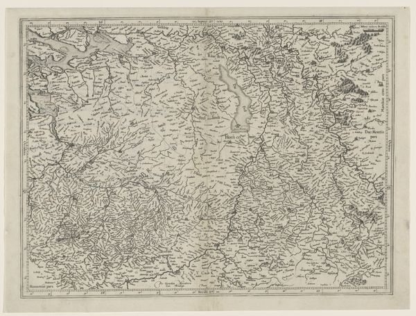
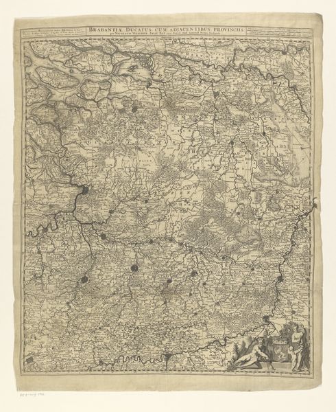
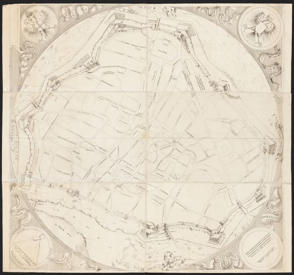
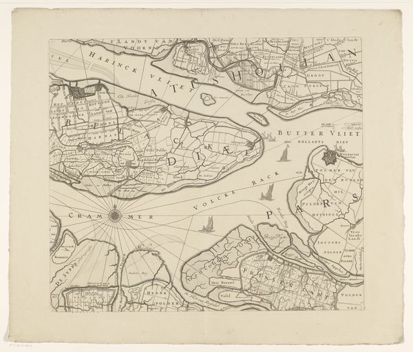
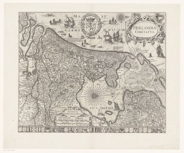
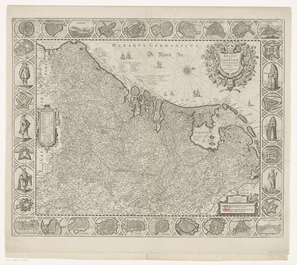
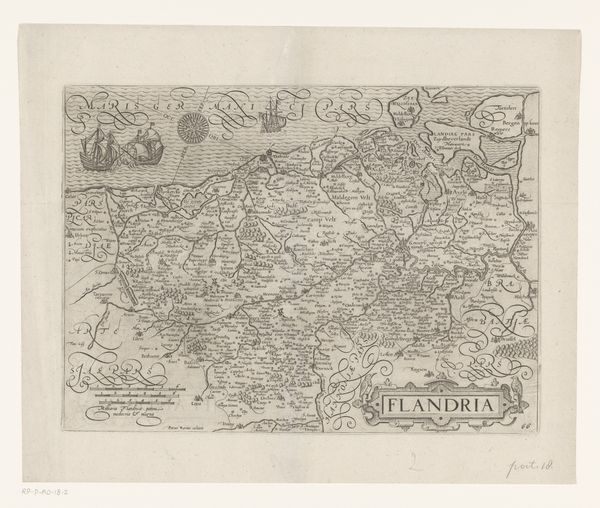
This map of Flanders and Zeeland is undated and was made by an anonymous artist using engraving. The material here is critical. Engraving is an intaglio printmaking technique, where the design is incised into a metal plate. This process demands considerable skill. The engraver would use a tool called a burin to carve lines into the metal, creating grooves that hold ink. The plate is then inked, wiped clean, and pressed onto paper, transferring the ink from the grooves to create the image. The resulting print has a distinctive, precise quality. The fine lines and details, which capture the geography, and the cities, suggest a labor-intensive process. Consider too, that the production of maps like this coincided with the rise of mercantile capitalism. They served as tools for trade, navigation, and territorial control. The very act of mapping was an assertion of power, both reflecting and reinforcing the economic and political ambitions of the time. Paying attention to materials, tools and skills allows us to see the social and cultural context embedded in this seemingly straightforward image.
Comments
No comments
Be the first to comment and join the conversation on the ultimate creative platform.
More like this