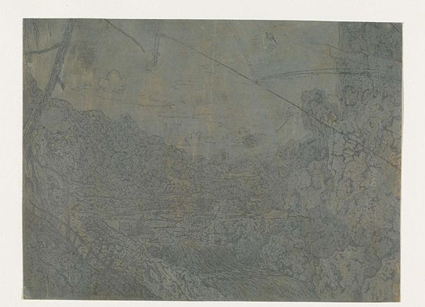
drawing, print, ink, engraving
#
drawing
#
medieval
# print
#
landscape
#
ink
#
engraving
Dimensions: height 153 mm, width 98 mm
Copyright: Rijks Museum: Open Domain
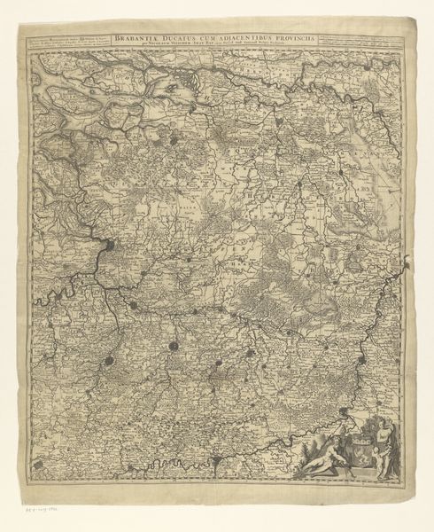
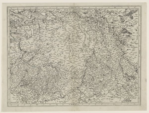
Editor: We are looking at “Landkaart,” a drawing and print made with ink and engraving by Jan Goeree, dating back to somewhere between 1650 and 1750. I'm immediately drawn to the intricate linework; it feels both precise and almost dreamlike. It looks like a map, but one infused with an otherworldly quality. What do you see in this piece? Curator: Initially, it presents itself as a topographical representation, a map in the traditional sense. However, examining the use of line, one discerns an intentional play between precision and artistic license. The engraving, though meticulous, allows for an almost calligraphic quality, particularly evident in the rendering of the rivers and terrain. Do you observe how the angels, situated at the upper edge, alter your understanding of the function and nature of a cartographical depiction? Editor: Yes, now that you mention it, the inclusion of those figures makes me question the map's practicality. The drawing now feels less about pure information and more like an allegorical landscape, where those angels feel deliberately symbolic. Curator: Precisely. We can regard the topography, thus, as merely a starting point. The artist utilises it as a substrate upon which to construct a layered symbolic composition, inviting closer reading beyond geographical understanding. This brings into question the piece's historical context; does this map simply portray location, or does it represent ideas about landscape itself? Editor: That’s a fascinating idea! I hadn’t considered that the medium and the message might be so intertwined. I am taking a new appreciation for how technique and intent come together here. Curator: And that synthesis of method and significance reveals what it "says," beyond the superficial interpretation as simple land and angels, expanding meaning, function, and aesthetic, I'd submit.
Comments
No comments
Be the first to comment and join the conversation on the ultimate creative platform.
More like this