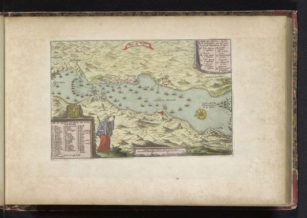
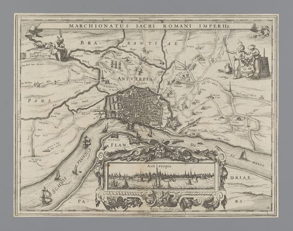
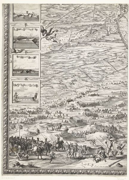
drawing, print, etching, paper, ink, engraving
#
drawing
#
baroque
# print
#
etching
#
landscape
#
paper
#
ink
#
coloured pencil
#
genre-painting
#
history-painting
#
engraving
#
watercolor
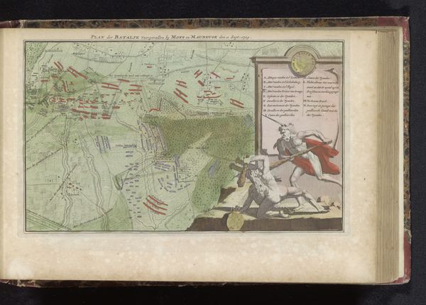
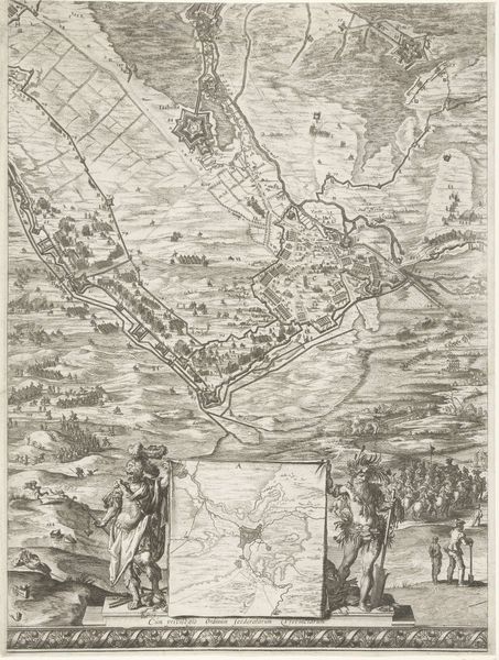
Dimensions: height 282 mm, width 164 mm
Copyright: Rijks Museum: Open Domain
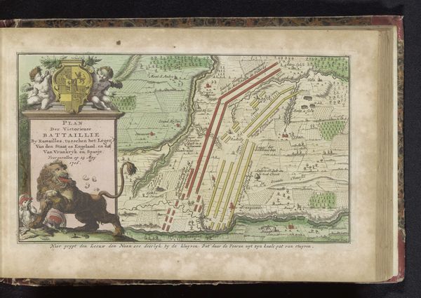
Editor: This is "Kaart van slag bij Höchstädt, 1704", or "Map of the Battle of Höchstädt, 1704," created in 1735 by Zacharias Chatelain II. It's a detailed print made using etching and engraving. The piece definitely conveys the organized chaos of 18th-century warfare. I'm interested in learning how someone in the 1700s would have looked at this map. What jumps out to you? Curator: Immediately, I notice how the visual language blends cartography with classical allegory. Consider the inclusion of the reclining male figure at the bottom, likely representing the Danube River. He’s posed like a classical god, an intentional link between the battle and the perceived heroic narratives of the past. What emotional associations might that have evoked for viewers at the time? Editor: Perhaps associating the battle with the grandeur and legitimacy of antiquity? Curator: Precisely. The map meticulously depicts troop placements and fortifications, providing a factual account, while elements like the river god elevated the battle to an almost mythical status. The symbols serve as emotional anchors, connecting contemporary events to a timeless narrative of power and victory. How might the rendering style further amplify that? Editor: I see that the colors used in rendering natural resources like vegetation is also repeated in uniforms and structural points within the fortification. I see what you mean now. It all feels intentional to imbue even physical landmarks as active components. It definitely impacts my perspective of how "nature" as well as participants is utilized and remembered. Curator: Indeed. Each line, color choice, and allegorical figure contributes to a complex, multi-layered message about power, history, and cultural identity, very carefully composed. Editor: This really shifts my understanding of what a map could be at this time, a tool not just for navigation, but a deliberate piece of rhetoric. Curator: Exactly! Recognizing this layered symbolism enriches our understanding, connecting art to broader cultural memories.
Comments
No comments
Be the first to comment and join the conversation on the ultimate creative platform.
More like this