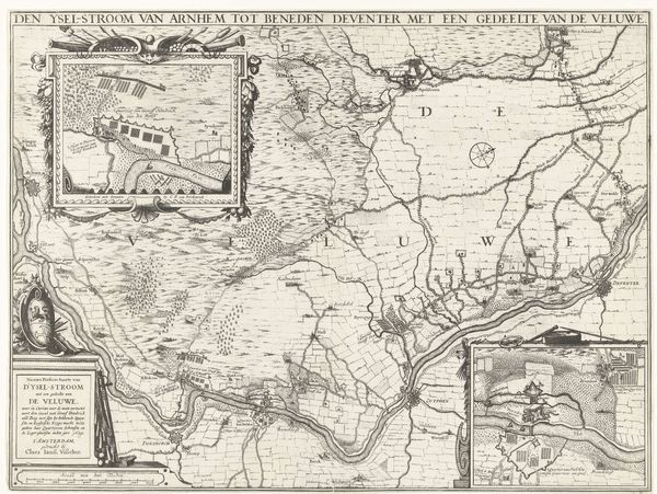
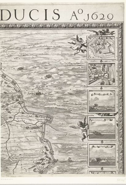
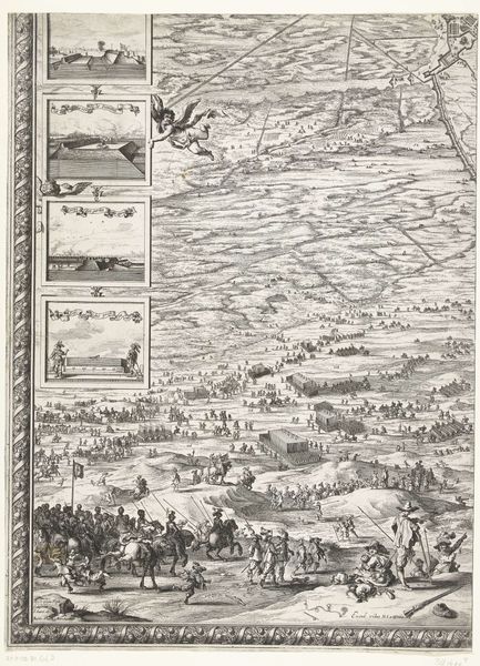
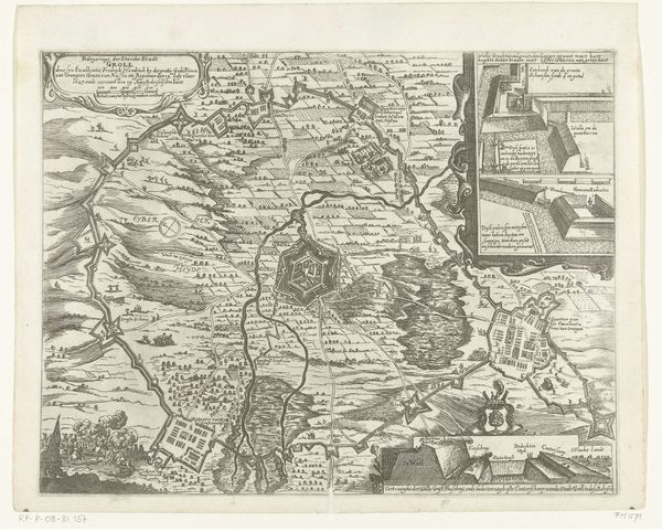
Grote kaart van het beleg van Den Bosch door Frederik Hendrik (blad middenonder), 1629 1629
0:00
0:00
salomonsavery
Rijksmuseum
drawing, print, ink, engraving
#
drawing
#
baroque
#
pen drawing
# print
#
pen illustration
#
pen sketch
#
landscape
#
ink
#
geometric
#
cityscape
#
history-painting
#
engraving
Dimensions: height 632 mm, width 480 mm
Copyright: Rijks Museum: Open Domain
This large map of the Siege of Den Bosch was made in 1629 by Salomon Savery, using the technique of engraving. This wasn't just a means of illustration, but a sophisticated technology for the distribution of information. Engraving involves using a tool called a burin to carve lines directly into a metal plate, usually copper. The plate is then inked, and the surface wiped clean, leaving ink only in the incised lines. Finally, paper is pressed against the plate, transferring the image. The result is a print with crisp, precise lines, ideal for technical drawings and maps. Consider the labor involved: Savery would have needed skill not only in drawing, but also in metallurgy and the mechanics of printing. The level of detail achieved speaks to the engraver's expertise. Savery’s choice of engraving speaks to a culture increasingly reliant on the mass production and distribution of images, mirroring the growth of trade and the dissemination of knowledge in the early modern period. It represents a powerful intersection of art, technology, and the burgeoning information economy.
Comments
No comments
Be the first to comment and join the conversation on the ultimate creative platform.
More like this