print, engraving
#
baroque
#
dutch-golden-age
# print
#
cityscape
#
engraving
Dimensions: height 386 mm, width 502 mm
Copyright: Rijks Museum: Open Domain
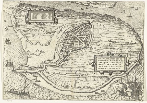
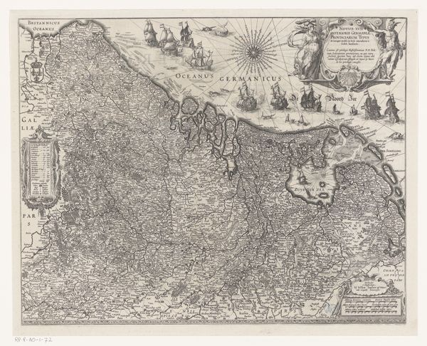
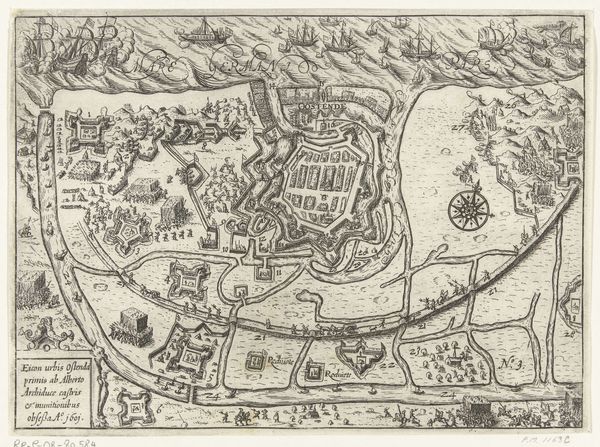
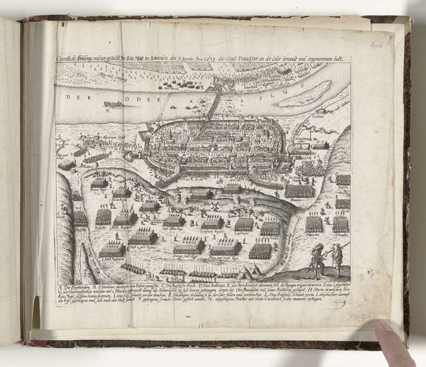
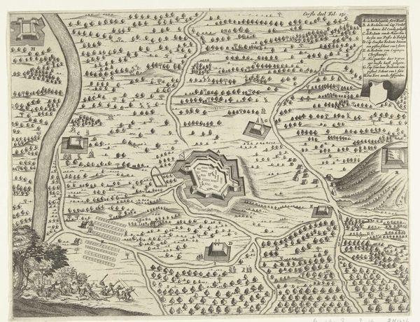
This anonymous map of Antwerp with a cityscape was created using engraving, but its story is really about the rise of a commercial hub. Made sometime in the 16th or 17th century, the map offers a bird's-eye view of the city, emphasizing its well-defended walls and the bustling river Scheldt, crucial for trade. Cartography at this time wasn't just about navigation; it was about power and prestige. Antwerp was a key port in the Spanish Netherlands, a wealthy region that saw intense political and religious conflict. Maps like these showcased the city's importance and implicitly its vulnerability. The image creates meaning by emphasizing Antwerp's strategic location and economic vitality, using visual cues that would have resonated with merchants and rulers alike. To understand this map better, we can delve into historical archives, trade records, and military reports of the period. Understanding its institutional context helps us appreciate how it reflects and shapes Antwerp's identity as a center of commerce and contention.
Comments
No comments
Be the first to comment and join the conversation on the ultimate creative platform.
More like this