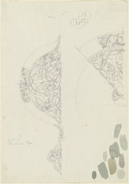
drawing, watercolor
#
drawing
#
dutch-golden-age
#
landscape
#
watercolor
#
watercolour illustration
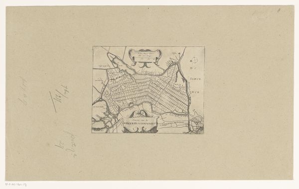
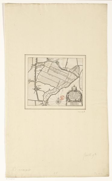
Dimensions: height 409 mm, width 316 mm
Copyright: Rijks Museum: Open Domain
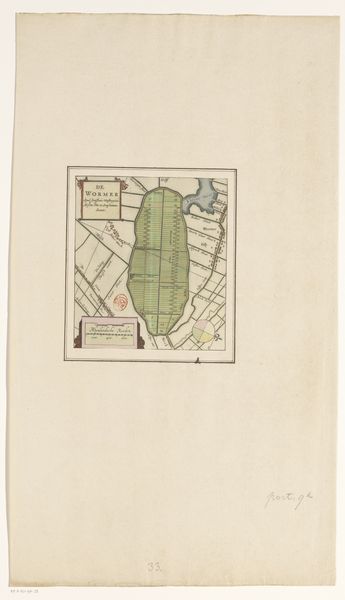
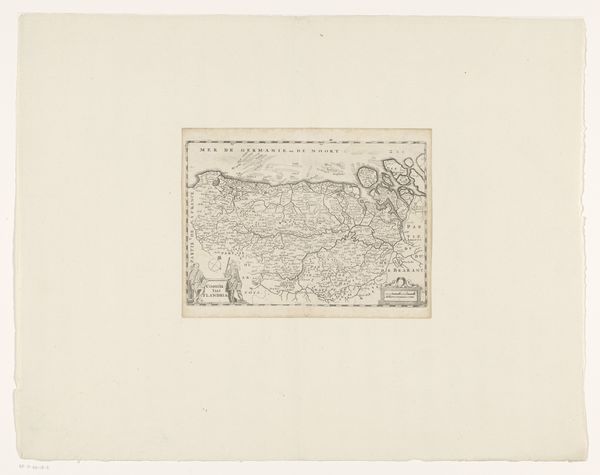
This anonymous map of Oost-Vlieland and West-Terschelling presents us with a formal interplay of sparse geographical details sketched within a vast expanse of blank space. The composition immediately draws our attention to how absence and presence define the visual experience. The schematic rendering of landmasses, rendered in muted greens and browns, floats in an otherwise unmarked field. At its center, a compass rose acts as a formal anchor, its radial symmetry contrasting with the irregular shapes of the islands. The map's function as a navigational tool is secondary to its aesthetic presentation; the negative space becomes a powerful element, suggesting the unknown and the uncharted. Here, representation and abstraction meet. The map invites us to consider how we construct meaning from minimal information and the cultural codes embedded in cartography. Does it challenge fixed meanings, or does it engage with new ways of thinking about space and representation? Consider the delicate balance between what is shown and what is omitted, and you’ll find a profound commentary on knowledge, power, and the human desire to map and control our environment.
Comments
No comments
Be the first to comment and join the conversation on the ultimate creative platform.
More like this