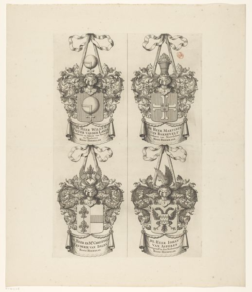
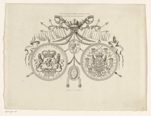
Kaart van het Hoogheemraadschap van Woerden, bestaande uit drie delen 1670 - 1690
0:00
0:00
justusvinckboons
Rijksmuseum
print, engraving
#
dutch-golden-age
# print
#
old engraving style
#
landscape
#
geometric
#
decorative-art
#
engraving
Dimensions: height 1231 mm, width 1538 mm
Copyright: Rijks Museum: Open Domain
Curator: Looking at this engraving, I’m struck by the detail – it's so precise, almost architectural in its lines. The landscape seems subjugated to these imposing heraldic symbols. Editor: This is the "Kaart van het Hoogheemraadschap van Woerden, bestaande uit drie delen," a print created between 1670 and 1690, now residing at the Rijksmuseum. It's attributed to Justus Vinckboons, capturing a specific regional governance. For me, it embodies Dutch Golden Age anxieties about land and water control. Curator: Ah, governance… these armorial bearings become powerful, almost threatening. The iconography of power dominating the delicate lines mapping the land itself. Does the visual language reinforce hierarchies and control, perhaps even divine right? Editor: Absolutely. The careful etching reinforces authority, visually cementing the connection between the rulers and their territory. These aren’t just aesthetic decorations, they act as legitimizing emblems. The banners unfurling the name above the map stakes the region in powerful visual claim. Curator: I agree. They suggest how intertwined identity, governance, and visual culture were at the time. Land was not just geography but something deeply embedded in personal and political narratives. Even the symmetry seems carefully calculated to convey order. Editor: Right, cartography then wasn’t merely objective record, but a loaded visual language. Remember the historical context: water management was essential, a constant struggle. Therefore, cartography takes on increased socio-political implications. Every symbol, carefully etched, speaks volumes about land ownership and authority. Curator: Considering these elements of history really alters my perspective, the visual language of control makes the landscape vulnerable, a contested zone, the emotional effect turns more somber. Editor: Precisely, by looking deeper into the era's power structures through the language of symbolism, we see that this "decorative-art" piece isn't so decorative after all. Curator: And for me, viewing the "map" now prompts further reflection of how cartography continues to construct power relations and influence our understanding of territories to this very day. Editor: Indeed. By examining the iconographic language of this old map, we may appreciate both its aesthetic artistry and also recognize its ability to carry enduring messages of governance and control.
Comments
No comments
Be the first to comment and join the conversation on the ultimate creative platform.
More like this