print, engraving
#
dutch-golden-age
# print
#
old engraving style
#
geometric
#
cityscape
#
academic-art
#
engraving
Dimensions: height 277 mm, width 422 mm
Copyright: Rijks Museum: Open Domain
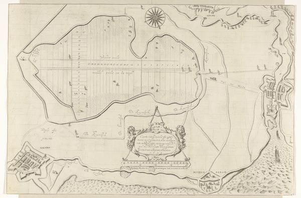
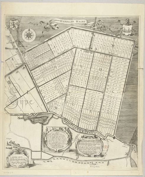
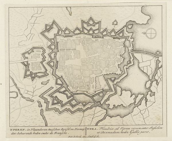
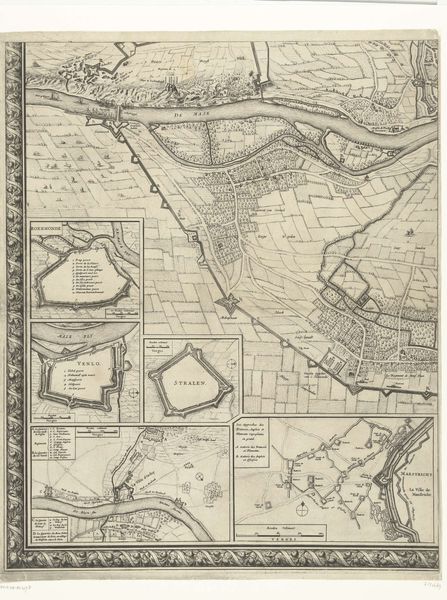
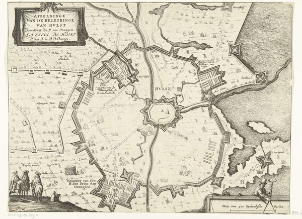
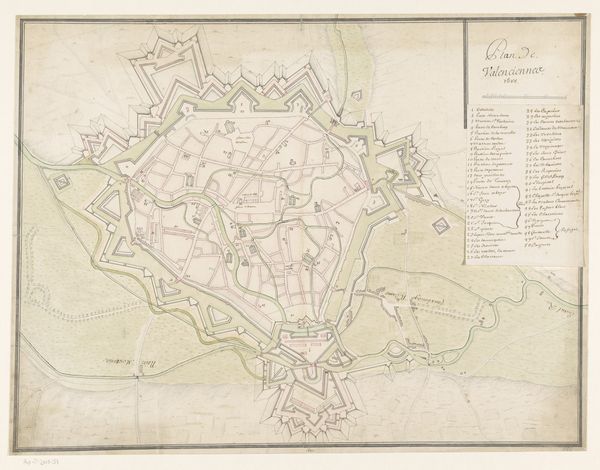
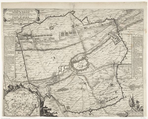
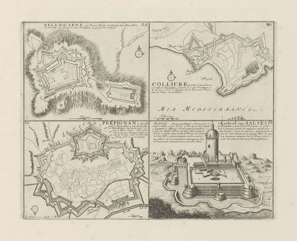
Anthonie de Winter created this map of Utrecht around 1670 using pen and ink. At first glance, the city's layout appears as a structured grid, enclosed by fortified walls. The lines are precise, illustrating streets and waterways with equal clarity. This evokes a sense of order and control, characteristic of the period’s urban planning ideals. This detailed representation is more than just a functional map; it reflects a worldview. The grid-like structure symbolizes an attempt to impose rationality and geometric precision onto the organic development of a city. The act of mapping itself is an exercise in power, defining and codifying space. Semiotically, the walls act as a signifier of protection and separation, defining the inside from the outside. Consider how the artist balanced functionality with a certain aesthetic sensibility, turning a practical document into a work that speaks volumes about the era’s values and perceptions of space. The map offers a snapshot of a moment in time, inviting us to reflect on how we interpret and represent our environments.
Comments
No comments
Be the first to comment and join the conversation on the ultimate creative platform.
More like this