print, etching
#
baroque
#
dutch-golden-age
# print
#
etching
#
etching
#
cityscape
Dimensions: height 163 mm, width 195 mm
Copyright: Rijks Museum: Open Domain
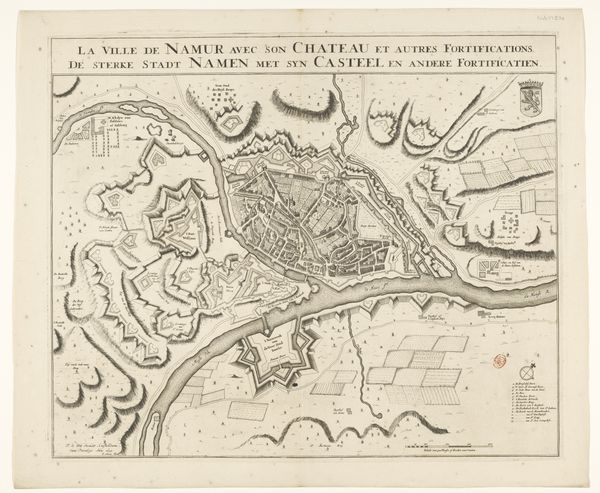
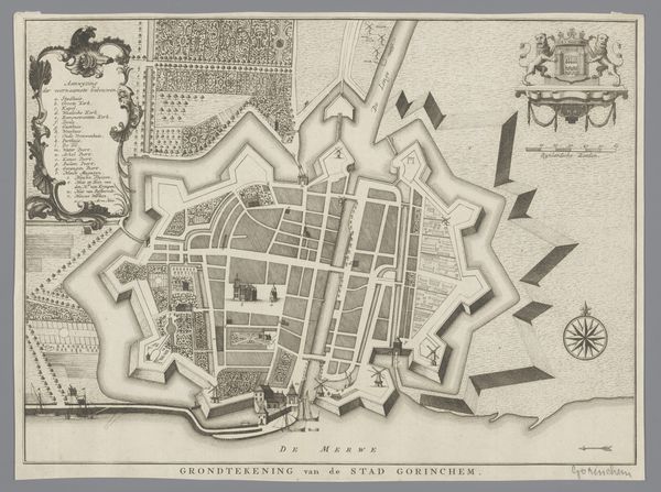
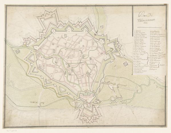
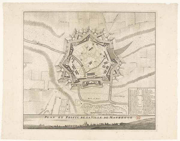
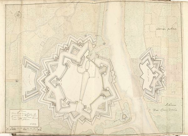
This is an anonymous engraving of the fortified city of Ieper, part of the Rijksmuseum collection. Maps like these were of huge strategic importance. They gave insight into the city’s defenses and vulnerabilities at a time when military conflict defined much of Europe. The engraving depicts a complex system of fortifications designed to protect the city. But beyond military strategy, this map is a cultural artifact, reflecting how people understood their place in the world. The map invites us to consider how identity is tied to place, and how political boundaries shape our sense of belonging. In this case, the map details a city under French control, highlighting the ever shifting nature of power and identity. Each line on this map represents not just a physical boundary, but also histories of conflict, cultural exchange, and the personal stories of those who lived within its walls. This detailed portrayal transforms the personal into the political.
Comments
No comments
Be the first to comment and join the conversation on the ultimate creative platform.
More like this