drawing, print, ink, engraving
#
drawing
#
baroque
#
dutch-golden-age
# print
#
ink
#
geometric
#
cityscape
#
engraving
Dimensions: height 418 mm, width 528 mm
Copyright: Rijks Museum: Open Domain
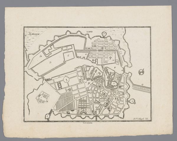
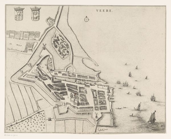
Curator: Look at this print from the Rijksmuseum collection. It's called "Plattegrond van Wesel," a city map likely made shortly after 1649. It’s rendered in ink through engraving and drawing. What’s your initial read? Editor: Wow, so precise. Gives me the feeling of looking at a highly organized beehive, all sharp angles and calculated density. Is this Wesel a real place, or some cartographer's fantasy? Curator: Absolutely a real place! Wesel is a town in North Rhine-Westphalia, Germany. These city maps were not just about geography, but also power. The star-shaped fortifications show that the city was focused on military defence. They visually declared a city’s strength, didn't they? Editor: Definitely sends that message, fortress mentality baked right into the urban plan! The detail is incredible; you could get lost in those tiny streets just by looking at the drawing. It also seems a bit...cold? Almost sterile. What do you suppose this says about Dutch Golden Age priorities? Curator: The Golden Age was driven by trade, scientific discovery and a growing sense of national identity. Maps like these were tools for administration, crucial for navigation, commerce, and military strategy. They reflected a culture deeply invested in rationalism and control. And let's not forget civic pride! Displaying the city in such a structured, almost idealized manner certainly boosts its importance. Editor: Control is the perfect word! It's beautiful in a very orderly way, yet I miss the human element. Like, where's the chaos, the accidental beauty you see in real life, the odd angles? Everything is so deliberate and optimized. Still, there's something impressive about witnessing such an effort to document and essentially dominate a landscape through art. It’s a statement, for sure. Curator: And a complex one, right? It signifies safety through that geometric plan but can make one feel like it is limiting creative freedom, too. It reminds us of the dual role of cartography in art history: to enlighten and to control. Editor: Absolutely, now I see this 'map' also serves as an interesting symbol. I appreciate that added historical dimension!
Comments
No comments
Be the first to comment and join the conversation on the ultimate creative platform.
More like this