print, engraving
#
pen and ink
#
baroque
#
mechanical pen drawing
# print
#
pen illustration
#
pen sketch
#
personal sketchbook
#
sketchwork
#
geometric
#
pen-ink sketch
#
pen work
#
sketchbook drawing
#
cityscape
#
storyboard and sketchbook work
#
engraving
Dimensions: height 344 mm, width 412 mm
Copyright: Rijks Museum: Open Domain
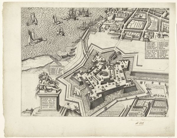
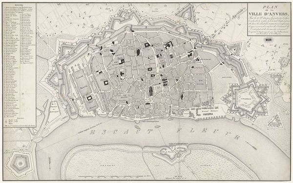
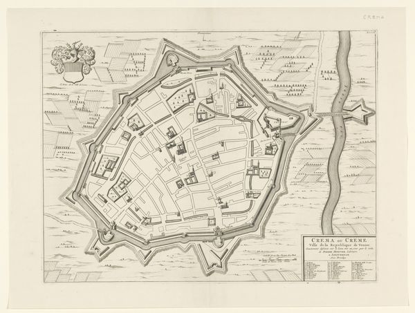
This is Daniël Stopendaal’s ‘Plattegrond van Milaan’, made in 1726. It’s an engraving, a method that demands precision and patience. The process involves incising lines into a metal plate, inking the surface, and then pressing paper against it to transfer the image. Look closely, and you'll notice that every street, building, and fortification is rendered with meticulous detail. This wasn't just documentation; it was a claim to knowledge and power. City maps like these were tools of governance and trade, visualizing urban spaces and facilitating commerce. Engravings like this were part of a rapidly expanding print culture, fueled by growing literacy and the increasing availability of paper. Stopendaal’s map reflects a shift in how people understood and interacted with their environment, tied to the social and economic structures of the time. Considering the material and the making process gives us a fresh view of how art, craft, and society are all deeply intertwined.
Comments
No comments
Be the first to comment and join the conversation on the ultimate creative platform.
More like this