graphic-art, print, engraving
graphic-art
medieval
old engraving style
cityscape
engraving
Dimensions: height 383 mm, width 495 mm
Copyright: Rijks Museum: Open Domain
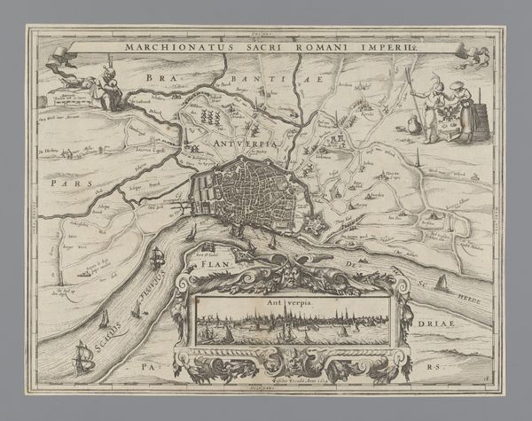
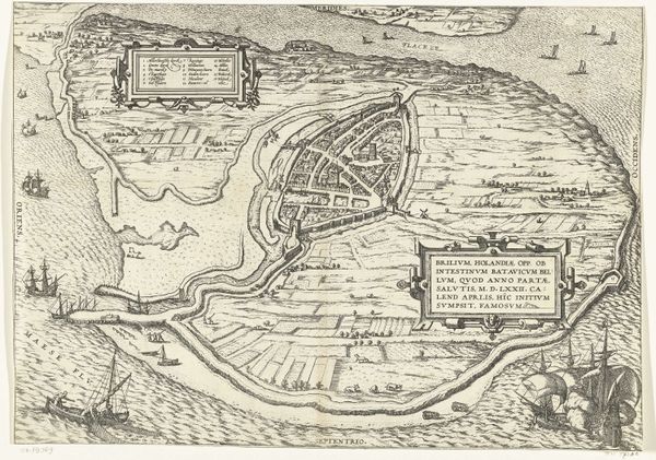
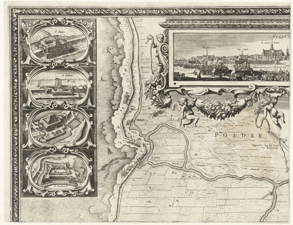
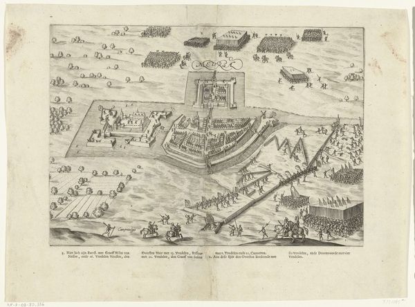
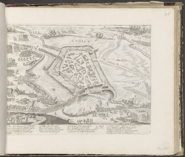
This "Plattegrond van Antwerpen met stadsgezicht," or map of Antwerp, is an engraving. Maps like this served an important function, obviously, providing crucial information to merchants and military strategists alike. Engraving is an intaglio process, meaning that the image is incised into a metal plate, ink is forced into the recesses, and then the surface is wiped clean. The printmaker then runs the plate through a press under great pressure, transferring the ink to the paper. You can imagine the amount of labor involved in creating this image. The engraver would have been highly skilled, and the press operator needed both strength and dexterity. The repetitive nature of printing is inherent in the final result. The map presents Antwerp as a node in a network of trade and power, and the print itself is a product of that same world. The precision of the lines, the clarity of the information, and the sheer effort of production all speak to the economic and political importance of the city it depicts. It's a testament to the convergence of art, craft, and commerce in early modern Europe.
Comments
No comments
Be the first to comment and join the conversation on the ultimate creative platform.