drawing, paper, ink
#
drawing
#
baroque
#
landscape
#
paper
#
ink
#
geometric
#
cityscape
#
academic-art
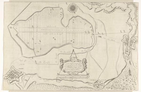
Dimensions: height 640 mm, width 780 mm
Copyright: Rijks Museum: Open Domain
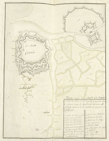
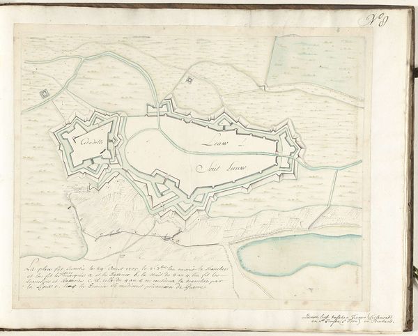
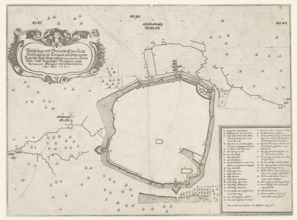
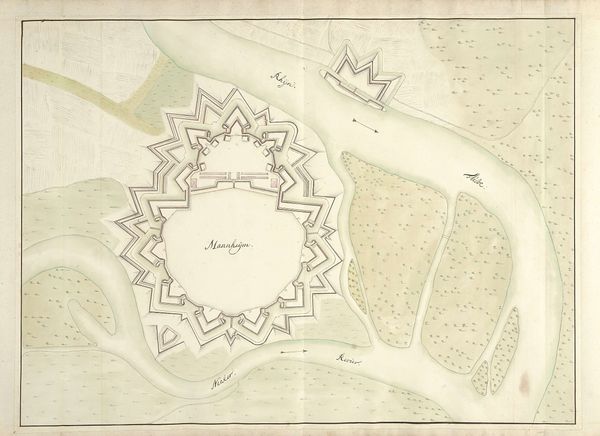
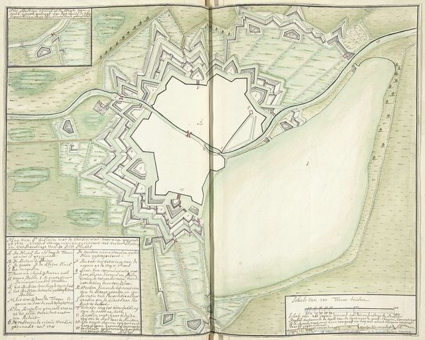
This detailed city map, or “Plattegrond,” of Maastricht, was crafted by Samuel Du Ry de Champdoré around the turn of the 18th century. Its precise lines depict the city's formidable fortifications, symbols of power and protection. Note the star-shaped forts. This motif, with its radiating points, appears throughout history, from ancient religious symbols to emblems of royalty and guidance, like the Star of Bethlehem. Here, the star transforms into a military structure, a radiating defense meant to ward off invaders, yet still echoing that primal sense of hope and direction. Consider how the yearning for safety and order, deeply embedded in our collective psyche, might influence both the creation and the perception of such imagery. This map is not merely a practical tool but a projection of human desires—our eternal quest for security. It reflects our understanding of the world, filled with both promise and peril, echoing through time in our art and our subconscious.
Comments
No comments
Be the first to comment and join the conversation on the ultimate creative platform.
More like this