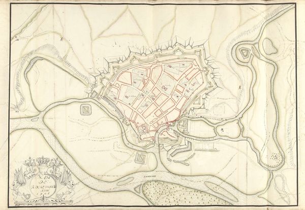
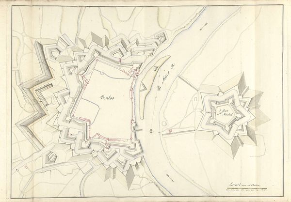
drawing, print, ink
#
drawing
# print
#
landscape
#
etching
#
ink
#
cityscape
Dimensions: height 605 mm, width 840 mm
Copyright: Rijks Museum: Open Domain
Editor: This is a fascinating drawing! It's entitled "Plattegrond van Luik, ca. 1701-1715," putting it in the early 18th century, and is attributed to Samuel Du Ry de Champdoré. It seems to be ink on print, depicting a cityscape. What strikes me is how it balances the detail of the urban area with the surrounding natural environment and fortifications. What do you make of this piece? Curator: I see this "Plattegrond van Luik" as more than just a geographical representation; it's a document deeply embedded in power dynamics. Maps like this were often commissioned by or for ruling elites, primarily for military and administrative purposes. Note the emphasis on fortifications. How might this visual representation have served to control and shape the perception of both the city and its inhabitants? Editor: That's an interesting point. I hadn't really thought about the "control" aspect. Curator: Consider who would have had access to such detailed information at the time. How would this knowledge affect their decisions, particularly regarding issues of defense, trade, or even social control within the city? The level of detail could enable targeted action against certain communities within the city. What are your thoughts on the role of cartography in enabling colonial expansion, resource extraction, and cultural erasure, specifically as it pertains to identity, race, and marginalized groups? Editor: So the map isn't a neutral representation, but part of a system. Thinking about it now, the clean lines and order of the drawing do seem to impose a certain…hierarchy, even a kind of dominance over the space. Curator: Precisely. And this dominance, subtly encoded in the map's design, contributes to larger narratives of power and control. Seeing the past with this lens of critical analysis enriches our understanding of the artwork. Editor: I agree, I never thought I'd look at maps and consider feminist or postcolonial theory, so that really shifted my perspective.
Comments
No comments
Be the first to comment and join the conversation on the ultimate creative platform.
More like this