print, engraving
#
dutch-golden-age
# print
#
geometric
#
engraving
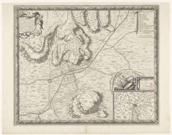
Dimensions: height 22.4 cm, width 53.3 cm
Copyright: Rijks Museum: Open Domain
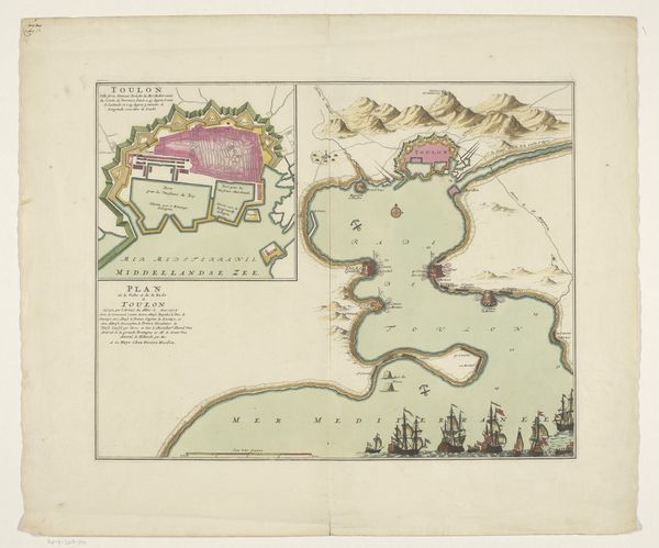
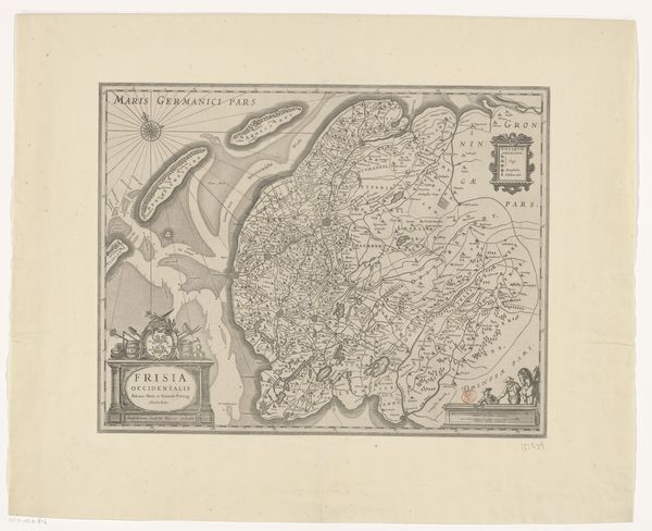
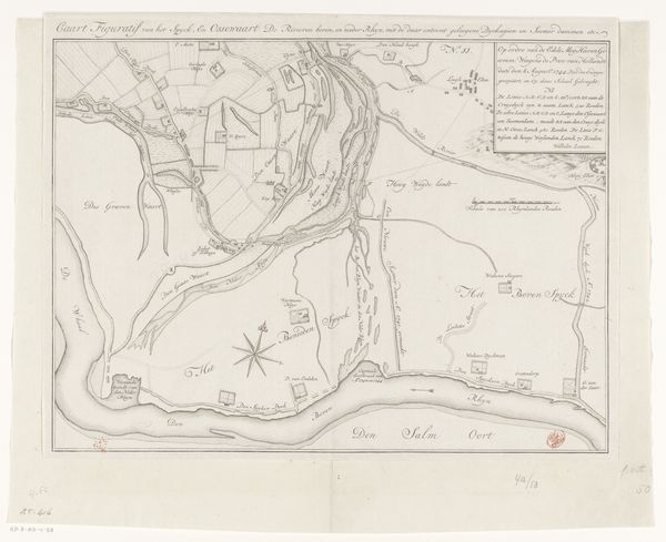
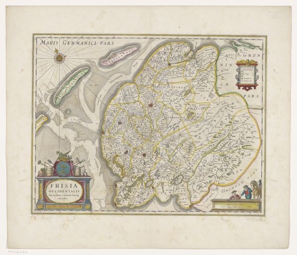
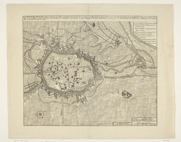
Franciscus van Schooten created this map of the area between Bergen op Zoom and Steenbergen. Look closely and observe how van Schooten’s map renders the landscape of the region, a tapestry of fields, waterways, and fortified towns. These fortifications, marked with geometric precision, speak of the ceaseless ebb and flow of power during the early modern period. The fortress, a motif that reappears through the history of art, serves as both a physical structure and a psychological symbol of defense, echoing the human desire for security. This symbol traces back to ancient citadels and even further, into the very architecture of our minds, where the construction of barriers reflects our inner anxieties and need for protection. The geometric forms of these fortified spaces evoke the rational order imposed on the natural world, a testament to the enduring human quest to control the landscape. Consider how these symbols reflect our collective memory and deepest fears.
Comments
No comments
Be the first to comment and join the conversation on the ultimate creative platform.
More like this