drawing, print, etching, paper
#
drawing
# print
#
etching
#
landscape
#
etching
#
paper
#
geometric
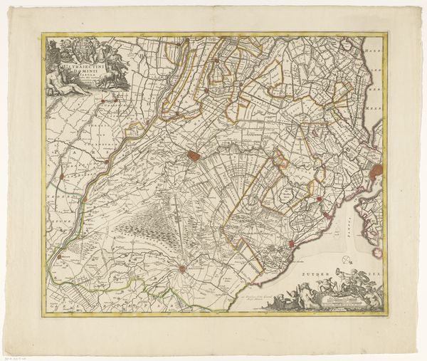
Dimensions: height 557 mm, width 373 mm
Copyright: Rijks Museum: Open Domain
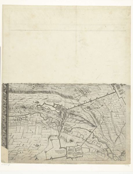
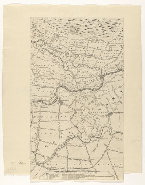
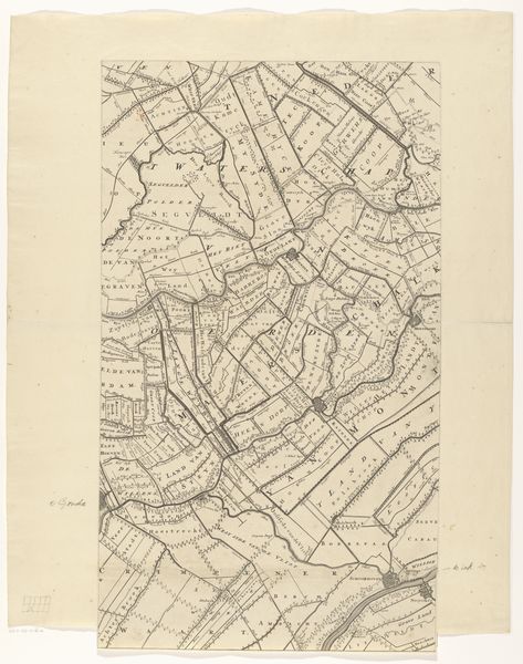
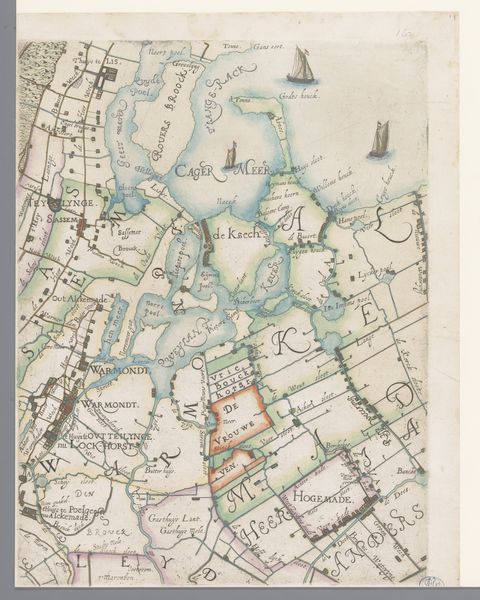
This is a map of the province of Utrecht, made by Thomas Doesburgh. The map is made out of paper and ink, with the image created by engraving a metal plate, and then printing from that plate onto the paper. It is part of a series of maps that were meant to provide precise measurements for the purposes of taxation and land management. The process of creating the map would have involved surveying, and the skilled labor of the engraver to transfer the data into a legible form. The material qualities of the map are inextricably linked to its social function. The thinness of the paper allowed for easy reproduction, while the precision of the engraving reflects the values of accuracy and objectivity. The map embodies a certain worldview, one in which land is a resource to be measured, divided, and controlled. Looking at this map, it is important to consider not only its informational content, but also the labor, and systems of power that went into its creation. By doing so, we can begin to understand how maps are not just representations of the world, but also active participants in shaping it.
Comments
No comments
Be the first to comment and join the conversation on the ultimate creative platform.
More like this