print, engraving
#
baroque
#
dutch-golden-age
# print
#
cityscape
#
engraving
Dimensions: height 332 mm, width 228 mm
Copyright: Rijks Museum: Open Domain
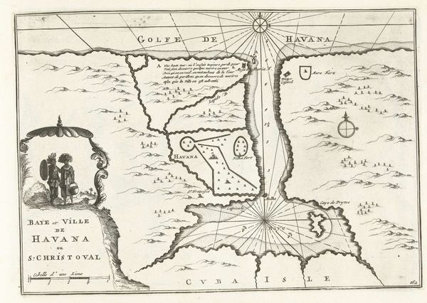
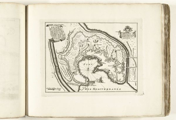
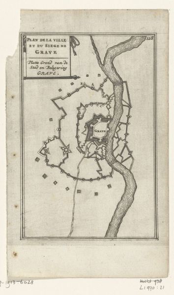
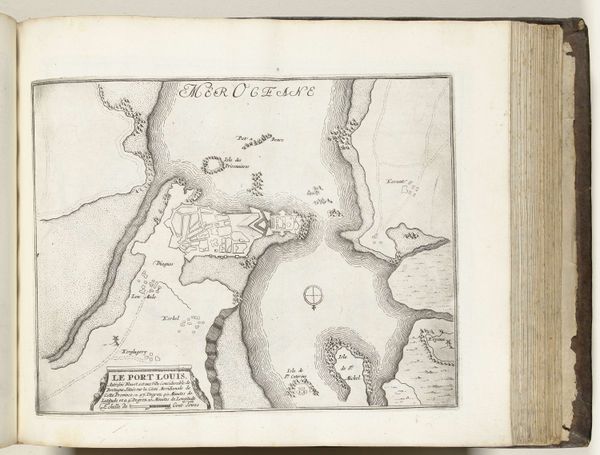
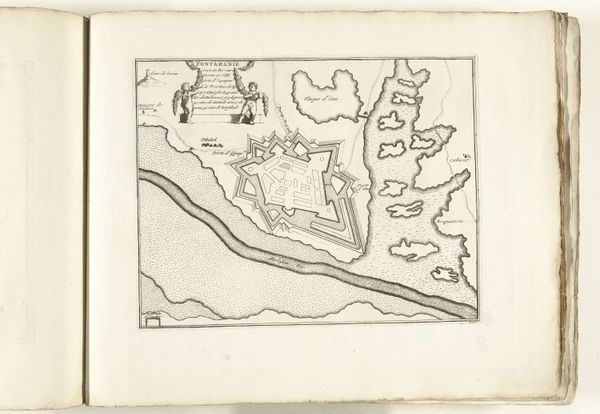
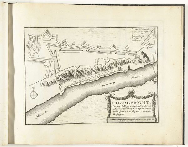
This map of the Øresund strait was made around 1702 by an anonymous maker, rendered with ink on paper. The crisp lines and precise details remind us that maps are more than just geographical tools; they’re also products of meticulous craft. Consider the labor involved. From grinding pigments to engraving the printing plates, each step demanded skill. Cartography was, after all, a crucial activity for Dutch trade, so accuracy was vital. The map’s surface, though seemingly simple, is a testament to human ingenuity. Ink, as a medium, allows for both delicacy and precision. It captures the nuances of coastlines and the strategic layout of shipping routes. Think about how the material—paper—influences our perception too. Its fragility reminds us of the human effort required to create and preserve knowledge. This map isn’t merely an image; it’s a record of industry, a testament to how craft intertwines with commerce, politics, and the pursuit of new horizons.
Comments
No comments
Be the first to comment and join the conversation on the ultimate creative platform.
More like this