drawing, ink, pen
#
drawing
#
ink drawing
#
baroque
#
pen drawing
#
landscape
#
ink
#
pen
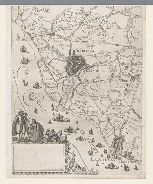
Dimensions: height 342 mm, width 223 mm
Copyright: Rijks Museum: Open Domain
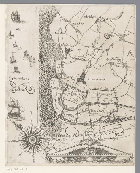
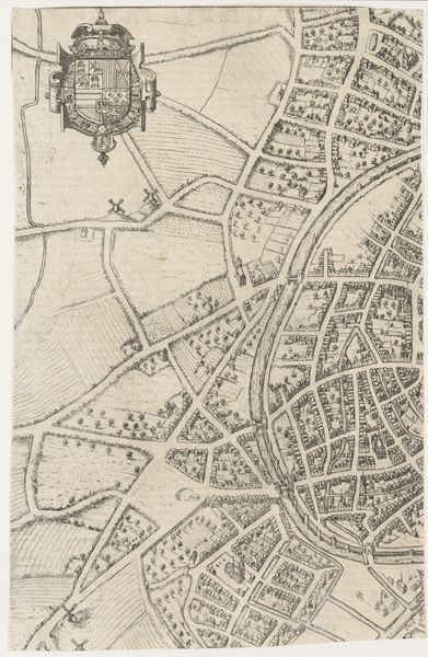
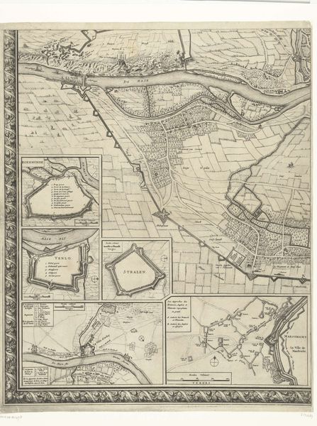
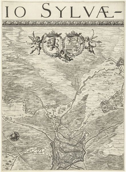
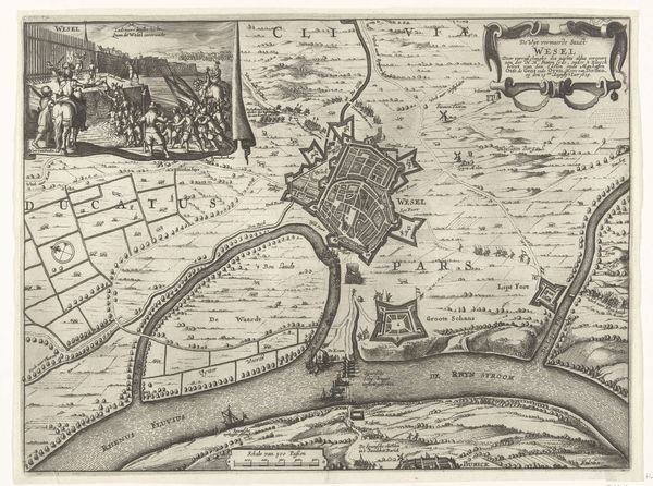
Editor: So, here we have “Inzetkaart van het Hoogheemraadschap van Delfland,” a map dating back to before 1678 by Coenraet Decker, rendered in ink. The detail is quite striking; it gives the map an almost narrative quality. I'm curious about your take. What jumps out at you? Curator: Narrative, indeed! It's not just lines on parchment, is it? I see a landscape pregnant with purpose. Canals meticulously etched, revealing not just geography but a collective ambition to manage the very waters that define them. Those flourishes – the cherubs, coats of arms – it's bravado and self-assurance made visible! Look at the otter, almost playfully guarding the bottom edge; do you think that Decker consciously placed that to embody watchfulness? Editor: Possibly! I hadn't thought of it that way. The borders are so ornate compared to modern maps, almost a visual feast. Were maps viewed differently back then, less as purely functional tools? Curator: Ah, precisely! Before Google Maps, imagine this. These were not merely guides; they were pronouncements! Decker seems to be asserting control. Not only that, he presents Delfland as not just territory, but a feat of human ingenuity and collaboration. Do you catch how those town emblems weave civic pride and remind folks what binds them to the waterworks and all that they protect? Editor: Absolutely! It becomes clear, the visual cues point to land management through both an artistic and practical perspective. Curator: What strikes me now is that an "aesthetic project" could double as an engineering guide. We see through both a surveyors' eye and a poetic sensibility here. It seems we cannot separate the land, and those who make meaning there! Editor: Absolutely fascinating! It bridges art and utility. Now I see layers within layers that were not initially visible.
Comments
No comments
Be the first to comment and join the conversation on the ultimate creative platform.
More like this