drawing, ink, engraving
#
drawing
#
pen drawing
#
dutch-golden-age
#
mechanical pen drawing
#
pen illustration
#
pen sketch
#
landscape
#
personal sketchbook
#
ink
#
pen-ink sketch
#
pen work
#
sketchbook drawing
#
cityscape
#
history-painting
#
storyboard and sketchbook work
#
sketchbook art
#
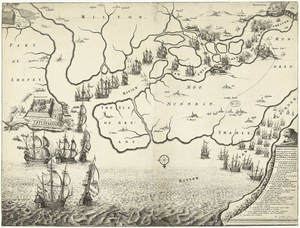
engraving
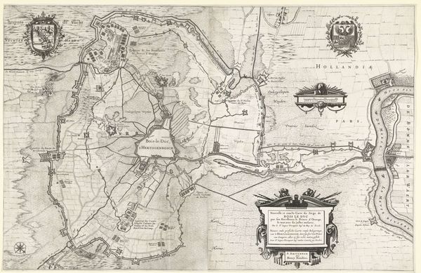
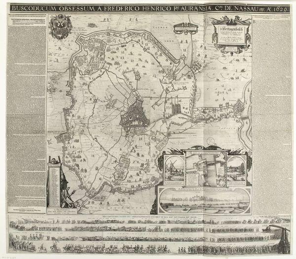
Dimensions: height 272 mm, width 368 mm
Copyright: Rijks Museum: Open Domain
This map, depicting Frederik Hendrik's siege of Den Bosch, was created in 1629 by an anonymous artist using engraving. This is an intaglio printmaking technique where an image is incised into a metal plate, often copper. Ink is then applied and the surface wiped clean, leaving ink only in the incised lines, before being pressed onto paper. The sharp, precise lines of the engraving beautifully capture the details of the siege. The act of engraving itself is laborious, requiring a high degree of skill, patience and control. It is a process that demands precision, similar to the planning and execution of a military siege. In 17th-century Netherlands, mapmaking was a booming industry, fueled by trade and military conflict. The production of these maps involved collaboration between artists, surveyors, and publishers. The resulting maps were not just tools for navigation or military strategy, but also commodities, reflecting the political power and economic interests of the Dutch Republic. Appreciating the material and process is crucial to understanding its full meaning.
Comments
No comments
Be the first to comment and join the conversation on the ultimate creative platform.
More like this