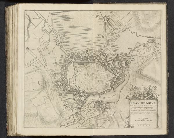
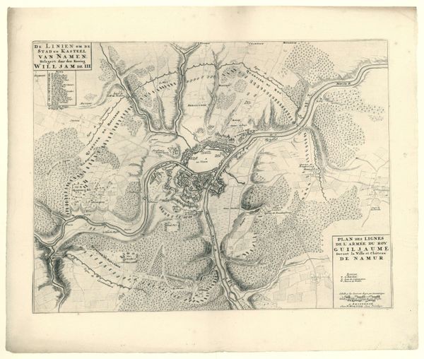
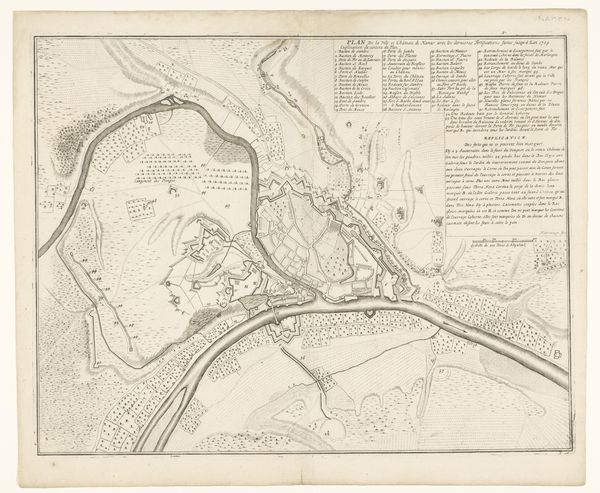
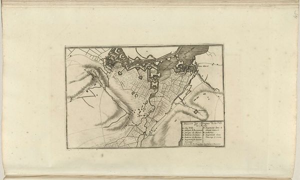
drawing, graphic-art, print, engraving
#
drawing
#
graphic-art
# print
#
geometric
#
cityscape
#
engraving
Dimensions: height 236 mm, width 289 mm
Copyright: Rijks Museum: Open Domain
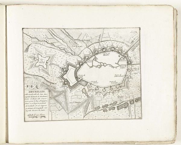
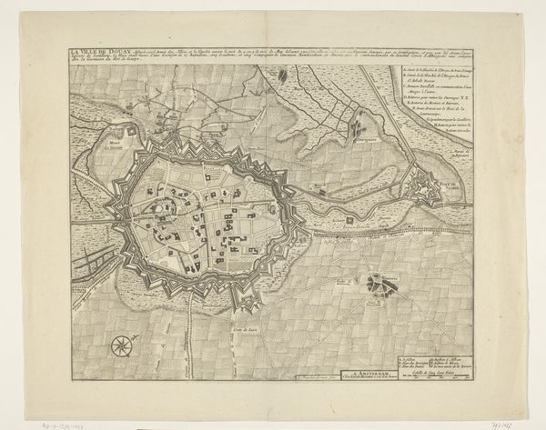
Editor: Here we have an engraving from between 1702 and 1728, titled "Vestingplattegrond van Brussel," an anonymous aerial view of Brussels in the Rijksmuseum's collection. I'm struck by how geometric and ordered the city looks from above. What do you see in this piece? Curator: It's fascinating how the map itself becomes a powerful symbol here. Maps, like icons, project a certain ideology. The fortifications around Brussels weren't just practical; they communicated power and control. Note the star-shaped bastions – they’re a visual declaration. How might this image have functioned in the cultural memory of Brussels, or even in the Spanish court it served? Editor: So the map is more than just a practical tool? Curator: Precisely! Consider the function of the engraver: not just documenting reality but shaping perception. The clean lines and deliberate organization suggest an imposition of order onto the urban space. Where do you think its intended audience would have resided? Editor: Maybe someone wanting to feel secure, to see Brussels as impenetrable. Or perhaps a military strategist. I never thought about how much symbolism could be embedded in a simple map. Curator: The symbols speak volumes. Maps aren't neutral. What else do you notice about the city's structure within those fortifications? Editor: I guess looking at the streetscape in that way is thinking about what daily life must have looked like. Thanks. Curator: It prompts us to question whose perspective is represented. Understanding that transforms the way we perceive not just this image, but the city and its history.
Comments
No comments
Be the first to comment and join the conversation on the ultimate creative platform.
More like this