drawing, pen, engraving
#
drawing
#
baroque
#
geometric
#
pen
#
cityscape
#
engraving
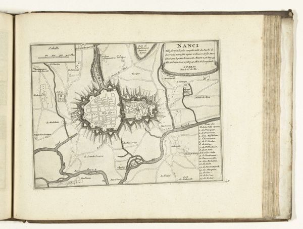
Dimensions: height 212 mm, width 282 mm
Copyright: Rijks Museum: Open Domain
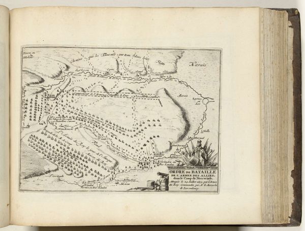
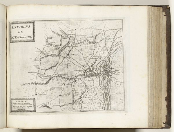
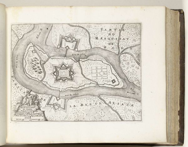
This is a map of Nancy, France, made around 1695 by an anonymous artist. It's an engraving, likely printed on paper using a metal plate. Look closely at the lines; each one was etched into the metal, then inked, and pressed onto the page. The process demanded precision and skill, reflecting the value placed on accuracy and detail at the time. The map meticulously depicts the city’s layout, fortifications, and surrounding landscape. But it’s more than just a geographical record. Maps like this were crucial tools of power. They aided military strategy, urban planning, and economic development. The act of mapping itself was a form of control, turning physical space into a knowable, manageable entity. The clean lines and organized structure suggest a desire for order and mastery over the territory. Consider the labor involved: the engraver's painstaking work, the printer's expertise, and the paper maker's craft, all combining to create this image. So, next time you see a map, remember it’s not just about location, it’s about the material, the making, and the context.
Comments
No comments
Be the first to comment and join the conversation on the ultimate creative platform.
More like this