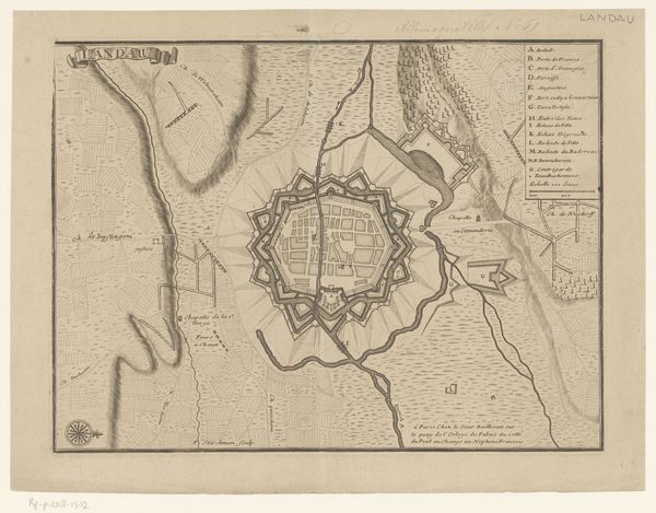
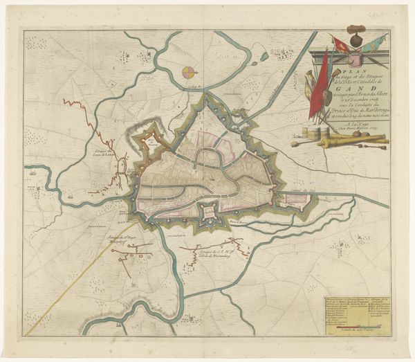
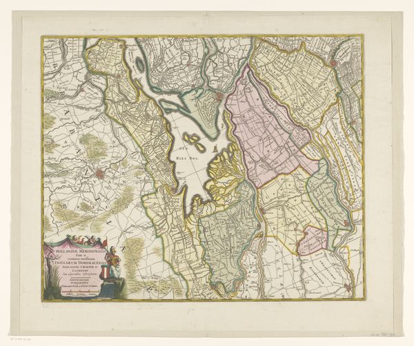
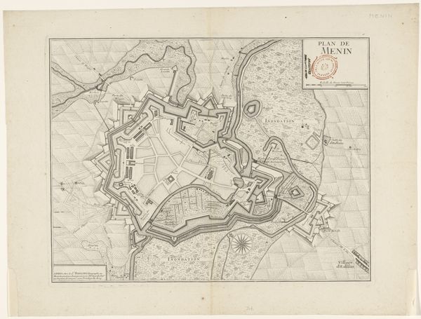
print, etching, engraving
#
baroque
# print
#
etching
#
landscape
#
engraving
#
watercolor
Dimensions: height 484 mm, width 558 mm
Copyright: Rijks Museum: Open Domain
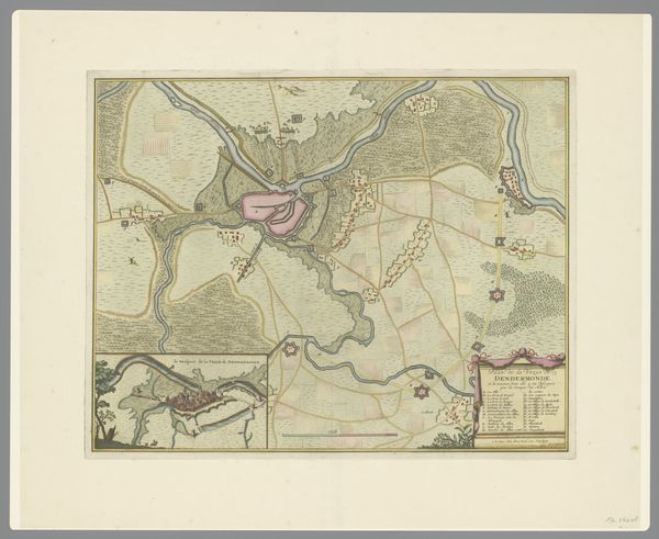
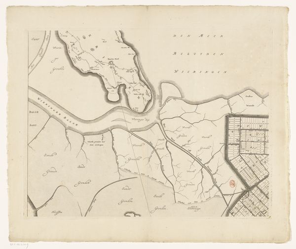
Editor: This is a section of "Kaart van het Beleg van Bergen op Zoom, 1747" by Monogrammist IFL, created between 1747 and 1757. It's a beautifully detailed print, an etching and engraving, touched with what appears to be watercolor. I'm struck by how it blends the practical – it’s a map, after all – with this almost decorative, landscape aesthetic. What story does this particular map tell you? Curator: Well, maps like these weren't just about geographical accuracy. They were deeply embedded in the political and social context of 18th-century Europe. Look at the way the besieged city of Bergen op Zoom is depicted, almost as a prize. The "polders," those low-lying lands reclaimed from the sea, aren't just areas; they're symbols of Dutch ingenuity and the constant struggle against the elements. Do you see how these elements contribute to a narrative? Editor: I see the named sections surrounding the town like territorial acquisitions and I appreciate the contrast between these pastel blocks, almost agricultural in design, with the fortified shape of the town itself, and then how that contrasts with the naturalistic shading in the river estuaries. Curator: Exactly. Now, consider the role of the patron who commissioned this map, or the audience it was intended for. Was it to celebrate a military victory, to commemorate a significant engineering achievement, or perhaps to instill a sense of national pride? The cherubs holding the explanation scrolls, do they reinforce a sense of authority, of divine right, over this space? Editor: I hadn’t considered how maps served more as symbolic representations of power! I was focused on it as simply something cartographic. Curator: It's easy to view this piece as something pretty to look at, but by understanding its purpose – the ‘why’ behind its creation – we can uncover a much richer tapestry of history. Maps served the powerful. Editor: Absolutely! I am beginning to notice the cartouche itself which indicates its service to political messaging rather than simply recording data. Thank you! Curator: A pleasure! This reminds us how every piece of art, even a seemingly functional one, has layers of meaning reflecting the society that produced it.
Comments
No comments
Be the first to comment and join the conversation on the ultimate creative platform.
More like this