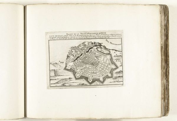
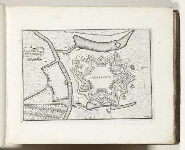
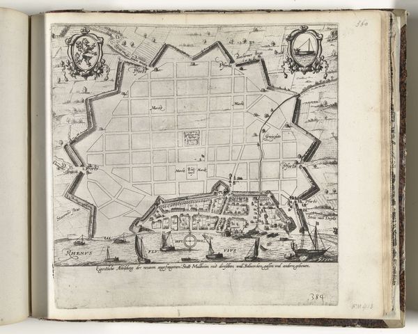
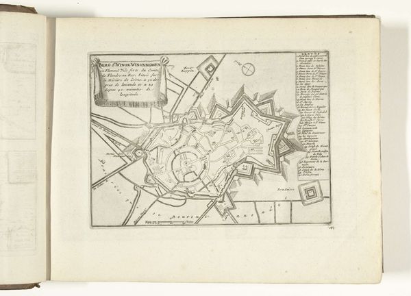
drawing, print, paper, ink
#
drawing
# print
#
paper
#
ink
#
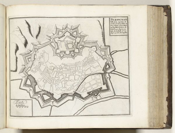
geometric
#
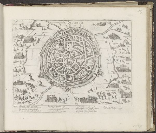
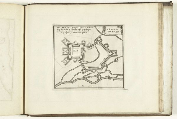
cityscape
#
history-painting
Dimensions: height 198 mm, width 252 mm
Copyright: Rijks Museum: Open Domain
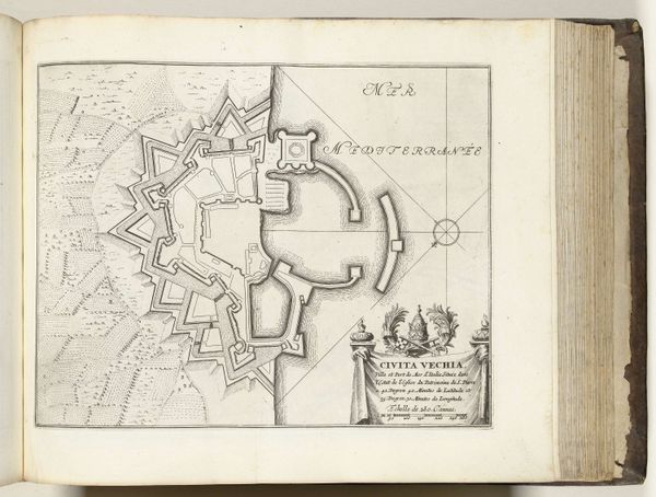
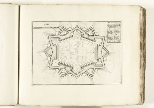
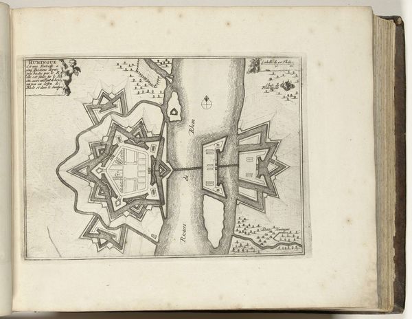
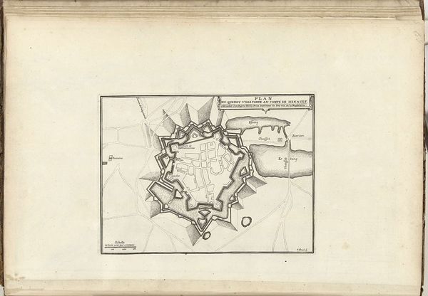
This is an anonymous map of Saarlouis, created in 1726, and held at the Rijksmuseum. Saarlouis was built as a fortress under Louis XIV, the Sun King, in the late 17th century, a period where military might and territorial ambition defined European power structures. This map isn’t just a depiction of geography; it's a statement of power, meticulously rendered with a sharp, almost sterile precision. The star-shaped layout, typical of the era’s fortifications, speaks of control, surveillance, and the imposition of order onto both the land and its inhabitants. What stories are buried beneath these calculated lines? How does it feel to live within a space so deliberately designed for defense? Consider, too, the communities that called Saarlouis home, their lives shaped by the whims of kings and the constant threat of conflict. This map, in its cold precision, invites us to reflect on the human cost of territorial disputes, and the long shadow cast by those in power.
Comments
No comments
Be the first to comment and join the conversation on the ultimate creative platform.
More like this