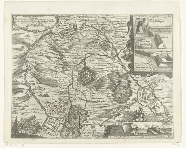
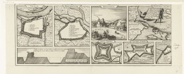
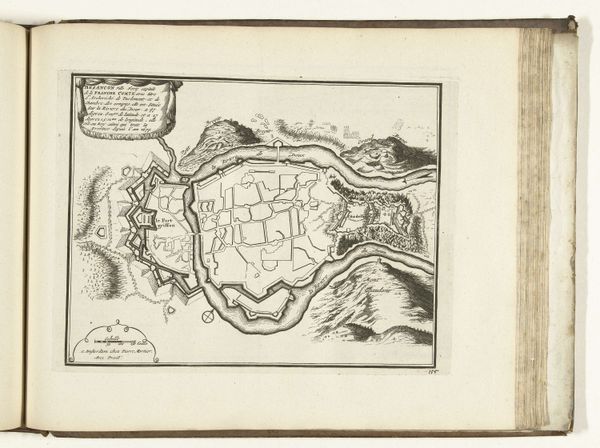
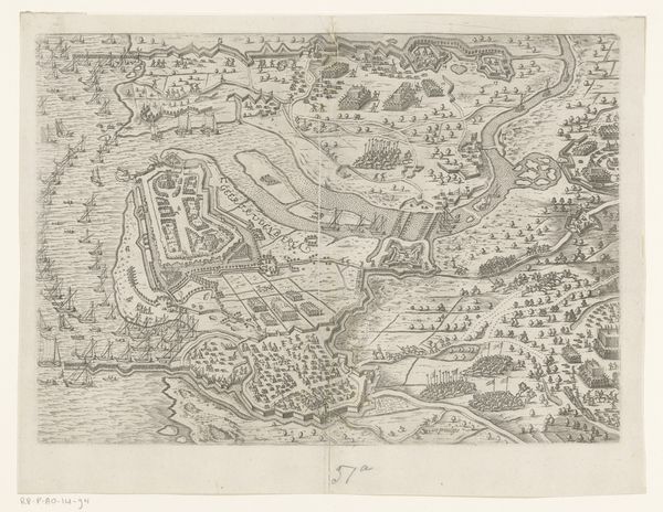
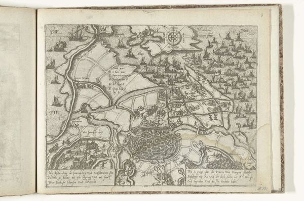
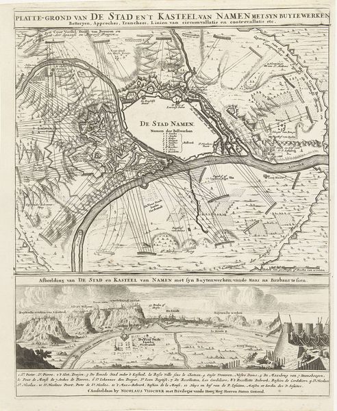
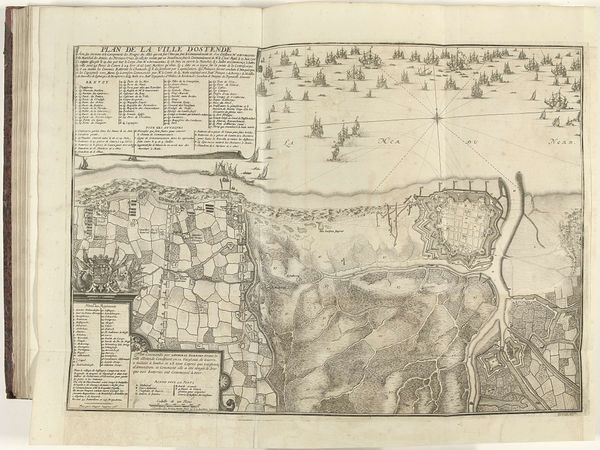
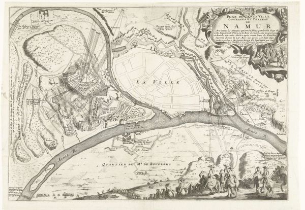
Plattegronden van Straelen, Venlo en Roermond en gezicht op het kasteel van Argenteau, 1632 1651 - 1652
0:00
0:00
anonymous
Rijksmuseum
drawing, print, paper, ink, engraving
#
architectural sketch
#
drawing
#
aged paper
#
baroque
# print
#
sketch book
#
landscape
#
paper
#
personal sketchbook
#
ink
#
sketchwork
#
pen-ink sketch
#
pen work
#
sketchbook drawing
#
cityscape
#
history-painting
#
storyboard and sketchbook work
#
engraving
#
initial sketch
Dimensions: height 274 mm, width 354 mm
Copyright: Rijks Museum: Open Domain
These ‘Plattegronden van Straelen, Venlo en Roermond en gezicht op het kasteel van Argenteau’ were made in 1632 by an anonymous artist. These detailed maps offer a glimpse into a fractured Europe, embroiled in the Thirty Years' War and the Dutch Revolt. Each plan meticulously charts the fortifications of towns along the Meuse River, reflecting the strategic importance of this region. These aren't just neutral surveys; they speak to power, control, and the ever-shifting boundaries of identity and allegiance. Consider the emotional weight of these images for the people living in these towns. Their homes, their lives, reduced to lines and angles, vulnerable to the whims of war. The ‘gezicht op het kasteel’ shows the artist’s ability to create an alternative narrative of belonging within the landscape. These maps remind us that even seemingly objective representations are imbued with the perspectives and intentions of their creators, shaping our understanding of history and place.
Comments
No comments
Be the first to comment and join the conversation on the ultimate creative platform.
More like this