drawing, print, paper, ink, engraving
#
drawing
#
baroque
# print
#
landscape
#
paper
#
ink
#
geometric
#
cityscape
#
engraving
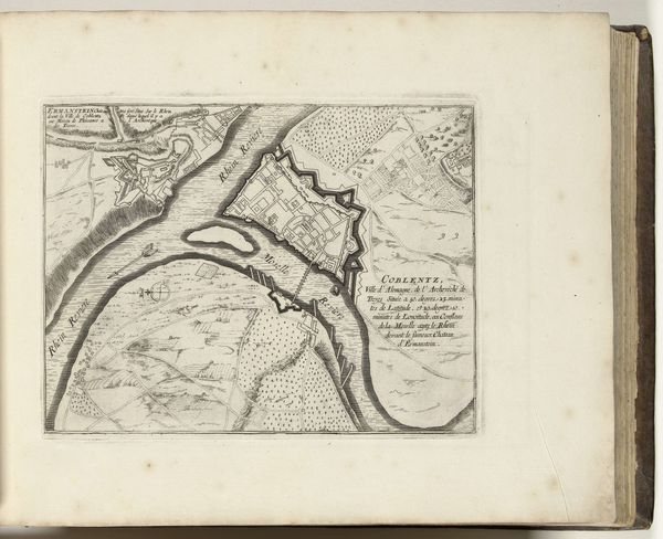
Dimensions: height 241 mm, width 276 mm
Copyright: Rijks Museum: Open Domain
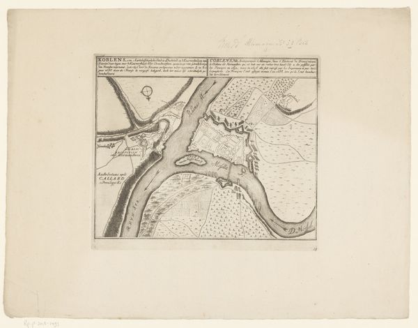
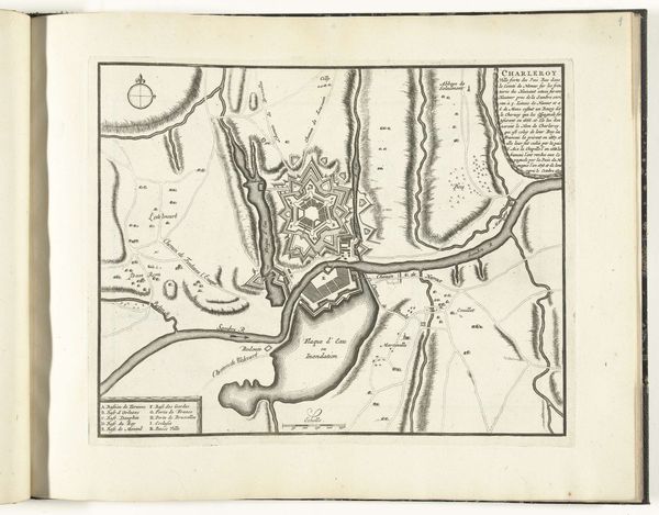
Editor: This is Abraham Allard’s “Plattegrond van Koblenz, ca. 1701-1713,” an engraving in ink on paper of a city plan. It looks very precise and meticulously detailed; the sort of image used for military planning, maybe? What strikes you when you look at this piece? Curator: This isn't just a straightforward map; it's a document deeply embedded in the power dynamics of the early 18th century. Allard's plan offers a glimpse into the strategic importance of Koblenz as a contested site during the conflicts between France and other European powers. Editor: Strategic importance, how so? Curator: Notice the detailed fortifications. They speak to the city’s role in controlling river traffic along the Rhine and Moselle. Maps like these were not simply representations of space, they were tools used to exert control over territory, populations and trade routes. Editor: So, this wasn’t necessarily intended for public consumption? More for military or political elites? Curator: Precisely. Consider the investment of resources required to produce such a detailed plan. It highlights the priorities of the patrons— likely military leaders or government officials —who commissioned it. Ask yourself: What message did they intend to convey through this representation of Koblenz? And how would that message shape public perception of their power and authority? Editor: It really puts the image in a new perspective! Instead of just seeing a map, I’m now thinking about its role in power and politics at the time. Curator: Exactly. It is important to move beyond aesthetic considerations and critically engage with the complex relationships between art, power, and society. I hope the tour participants find it beneficial as well!
Comments
No comments
Be the first to comment and join the conversation on the ultimate creative platform.
More like this