print, engraving
# print
#
landscape
#
history-painting
#
engraving
Dimensions: height 478 mm, width 554 mm
Copyright: Rijks Museum: Open Domain
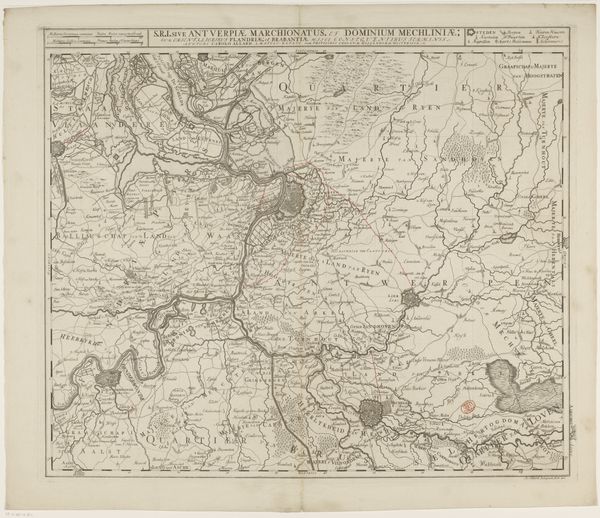
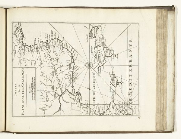
This detailed, undated print depicts the defense lines of the French in the Southern Netherlands, circa 1692-1693, and it was created by an anonymous artist. The composition is neatly divided into two horizontal panels. The upper and lower sections mirror each other, showcasing a landscape meticulously etched with fortifications, rivers, and settlements. The print uses a stark contrast between the fine, precise lines delineating the landscape and the empty spaces, creating a visual tension. This cartographic representation isn't merely descriptive; it's a carefully constructed argument about power and control. The lines themselves, etched into the plate, become symbolic boundaries, delineating territories and asserting claims. In the context of military strategy and territorial disputes, the map transcends its function as a navigational tool. It serves as a semiotic device, encoding political ambitions and strategic calculations within its intricate network of lines and symbols. The map challenges any fixed understanding of territory, presenting it instead as a fluid, contested space shaped by human intervention and strategic maneuvering.
Comments
No comments
Be the first to comment and join the conversation on the ultimate creative platform.
More like this