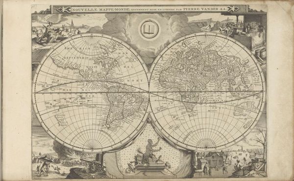
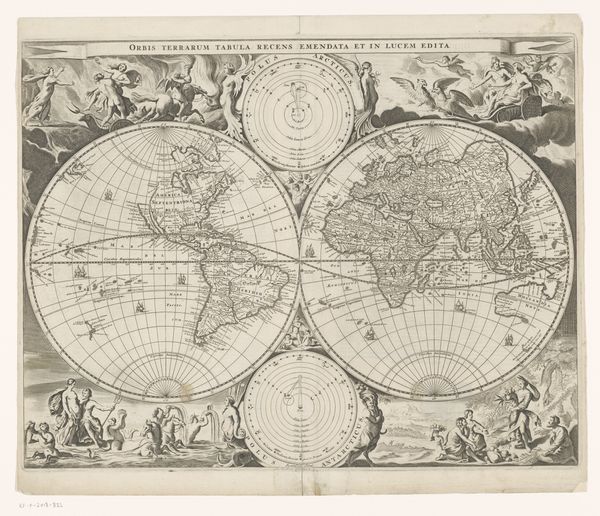
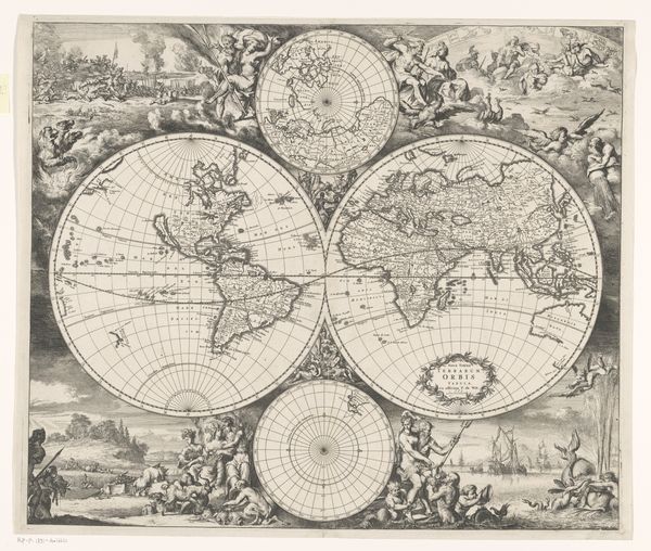
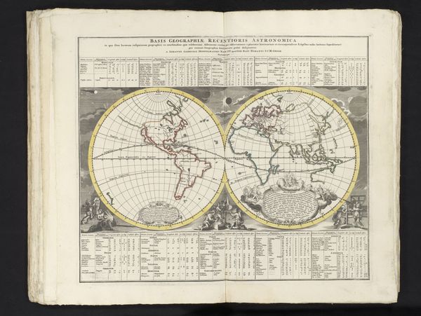
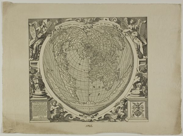
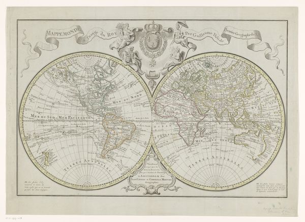
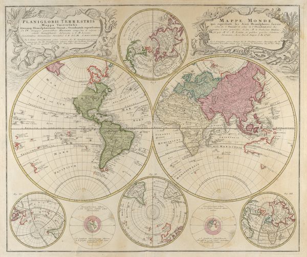
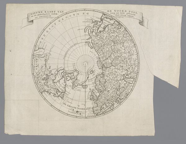
print, engraving
baroque
old engraving style
landscape
geometric
cityscape
history-painting
engraving
Dimensions: height 233 mm, width 302 mm
Copyright: Rijks Museum: Open Domain
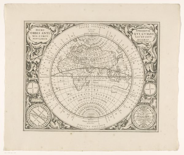
Editor: This is the "Wereldkaart" or World Map, an engraving from 1726, currently housed at the Rijksmuseum. The detail is amazing! It’s a very classical image with allegorical figures. How do you interpret this work? Curator: Immediately, I see more than just geographical representation; this map embodies power, knowledge, and the historical context of colonialism. It invites a dialogue between the assumed objectivity of cartography and the subjective experience of the colonized. Editor: Colonialism? Can you elaborate on that? Curator: Certainly. Maps were powerful tools in the age of exploration. They legitimized claims to new territories. Note how Europe is centered and often more detailed compared to other continents. This reflects a Eurocentric perspective and an imbalance of power, doesn't it? What about the images that surround the map itself? Editor: I see figures and landscapes... exoticized images of people and places far away. They reinforce a certain... stereotype, maybe? Curator: Precisely. They contributed to a narrative that other lands were there for the taking and the local people "savage" and ready to be "civilized." So the map isn't a neutral depiction, but one constructed with specific intent, fueled by cultural biases and the colonial project. Maps can rewrite cultural narratives, erase histories, or reinforce particular power structures. We have to ask who gets to define the map. Editor: It's making me rethink maps altogether! I always saw them as neutral references. Curator: Indeed. Analyzing historical maps such as these can unveil so much about the political, social, and cultural climate of that era, opening dialogues about marginalized people. What do you make of that today? Editor: I'll definitely view old maps through a very different lens now. I realize it's a blend of geography, history, and power. Thank you for that perspective!
Comments
No comments
Be the first to comment and join the conversation on the ultimate creative platform.