drawing, print, engraving
#
drawing
#
dutch-golden-age
# print
#
landscape
#
cityscape
#
engraving
Dimensions: height 149 mm, width 225 mm
Copyright: Rijks Museum: Open Domain
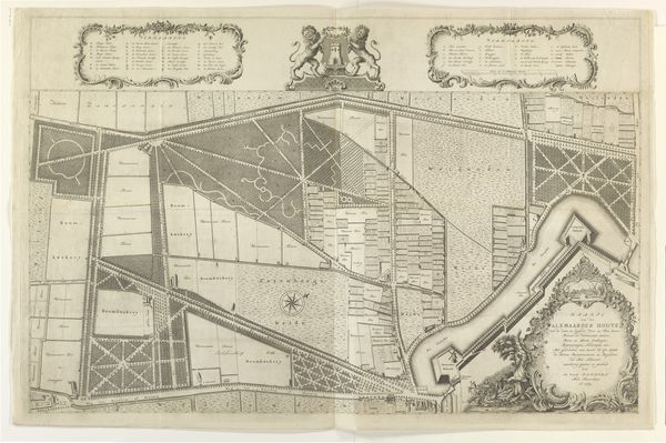
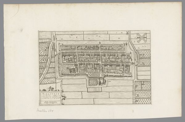
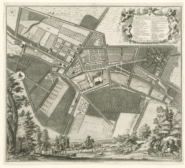
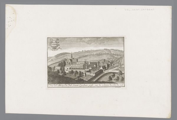
This is an anonymous map of Beverwijk. Without a known artist, the historical and social context of the artwork becomes even more important for interpretation. This plan gives us an insight into the spatial organization and values of a Dutch town, likely from the 17th or 18th century, a period marked by significant urbanization and economic expansion in the Netherlands. This map isn't just a depiction of geography, it reflects social structures and power dynamics, with land ownership and agricultural production laid bare. How might the detailed layout of streets and fields speak to issues of class and labor? Moreover, as we consider the absence of the artist's identity, we might ponder the stories of those whose lives are invisibly etched into this landscape. What can this map reveal about the collective identity of a community? Think about the human stories behind the structures and spaces depicted in this meticulous representation.
Comments
No comments
Be the first to comment and join the conversation on the ultimate creative platform.
More like this