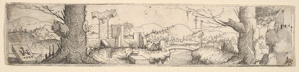
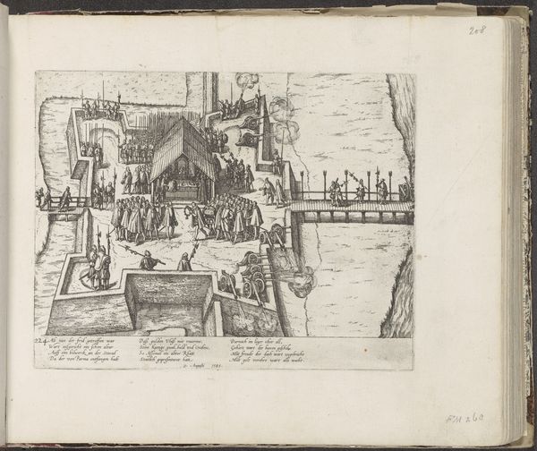
print, engraving
#
baroque
#
mechanical pen drawing
# print
#
pen sketch
#
old engraving style
#
sketch book
#
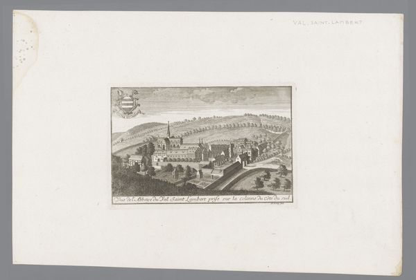
landscape
#
personal sketchbook
#
sketchwork
#
pen-ink sketch
#
pen work
#
sketchbook drawing
#
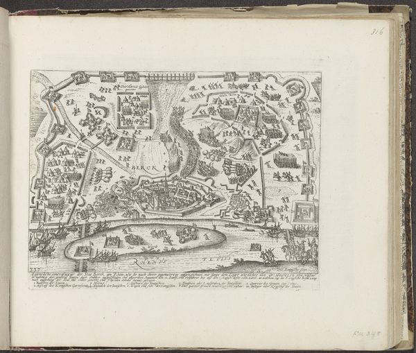
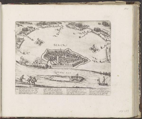
cityscape
#
storyboard and sketchbook work
#
engraving
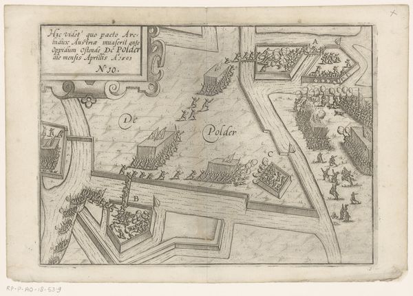
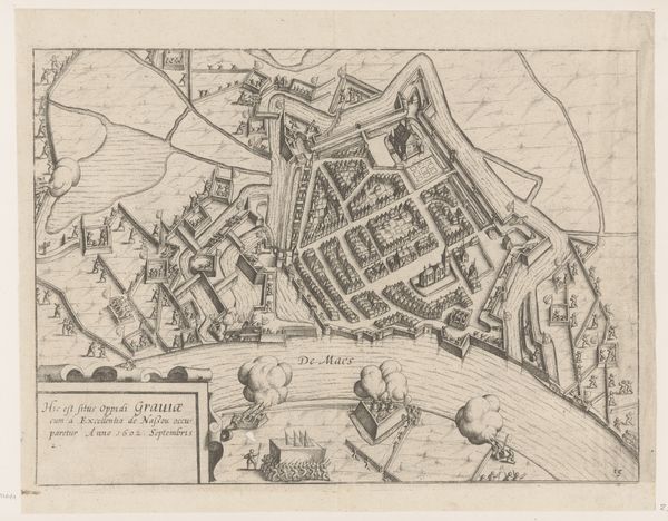
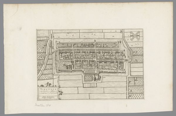
Dimensions: height 248 mm, width 344 mm
Copyright: Rijks Museum: Open Domain
Lambert Cornelisz created this print of Prince Maurits' army passing through Helmond in 1602. It depicts not just a military campaign but also the institutional power of cartography. Made in the Netherlands, this image visualizes early modern warfare through a bird's-eye view of the city, its fortifications, and the orderly arrangement of troops. The print's visual language speaks to the Dutch Republic's struggle for independence from Spain and its reliance on military engineering and strategic planning. The detailed rendering of Helmond and the surrounding landscape, including the compass rose, underscore the increasing importance of accurate mapping. As historians, we can look at period documents, military records, and urban plans to further understand the social and political context of this print. The act of mapping, and the creation of this image, reflect not just military strategy, but the Republic's evolving sense of itself as a nation defined by territory and control.
Comments
No comments
Be the first to comment and join the conversation on the ultimate creative platform.
More like this